What is recorded here
Thirty-five metres of packed earth and forgotten stone circle the rise in Largan, though a modern field wall now cuts through the ancient boundary. The inner bank still wears traces of revetment, proving human hands shaped the circle before grass and time softened its edges. A house sits a hundred metres south and a dark passage lies north, waiting for curiosity. What lives inside the ring now is not written, only suggested by the shape itself: a room built for people, later released to rain, roots and rumor.
On a rise in undulating grassland. Poorly preserved circular rath (D 34.9m) defined by an inner bank, external berm, intervening fosse and outer bank. Traces of stone revetment survive on the inner bank. A field wall cuts the monument at ENE and WSW, to SE of which only a cropmark survives. A possible Man-made underground passage (GA042-170----) lies 180m to NW and a house (GA042-171----) 100m to SSW.
The above description is derived from the published 'Archaeological Inventory of County Galway Vol. II - North Galway'. Compiled by Olive Alcock, Kathy de hÓra and Paul Gosling (Dublin: Stationery Office, 1999).
Date of upload: 05 August 2010
The monument record does not grant public access. Check the route and ask the landowner before entering private land.
- What survives
- Recorded monument
Places near here
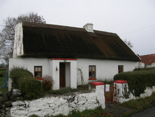 farm housefarm house · 846 yd
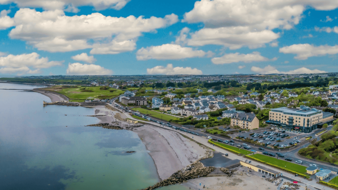 Doonlaur FortFairy fort / earthen ringfort · 1154 yd
 DoonFairy fort / earthen ringfort · 1377 yd
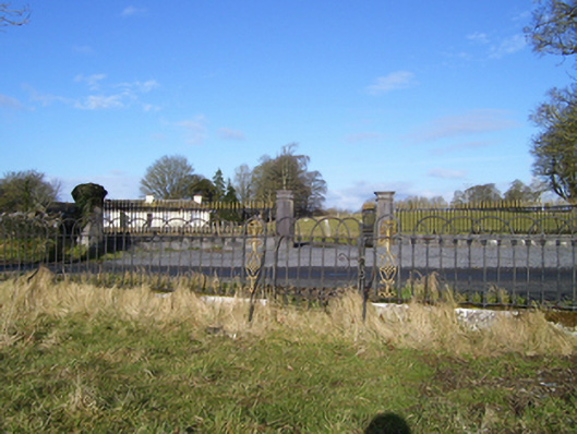 Moyne Hilldemesne walls/gates/railings · 1580 yd
 Kinlough CastleCastle · 1698 yd
 Moyne Castle in ruinsCastle, unclassified · 1.3 mi
 Ross Errilly FriaryHeritage attraction · 2.1 mi
 Cregg PlantationForest · 2.5 mi
 Pesooge PlantationForest · 2.6 mi
 Kilcoona Round TowerHeritage attraction · 4.6 mi
 Otter IslandIslet · 5.7 mi
 Inis Mhic an TrírIsland · 6.4 mi