What is recorded here
Fairy forts are not fairy forts. They are human ringforts, misnamed because people stopped remembering the hands that dug them. In Laracor that forgotten hand leaves a circular shadow in the soil, waiting for rain or sunlight to draw its shape again. The fairies inherit only what humanity abandoned.
Situated on a slight rise in a fairly level landscape with the SW-NE Knightsbrook River c. 330m to the W and c. 170m to the N. The cropmark of a circular enclosure (diam. c. 50-55m) defined by a single fosse feature is visible on Google Earth (29/06/2019; 14/07/2018). It was first reported by Jean Charles Caillere.
See the attached image from Google Earth 14/07/2018
Compiled by: Michael Moore
Date of upload: 5 June 2019
The monument record does not grant public access. Check the route and ask the landowner before entering private land.
- What survives
- Recorded monument
Places near here
 Font in LaracorFont · 774 yd
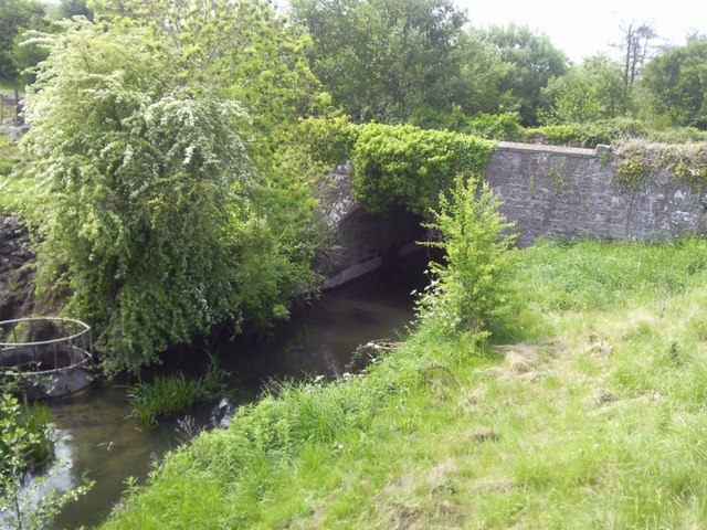 IndicatedBridge · 783 yd
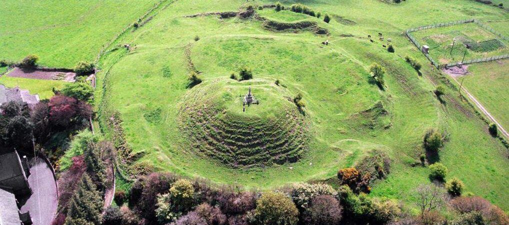 CastleCastle, motte · 800 yd
 Enclosure in Stokestown (moyfenrath Lwr By)Enclosure · 1250 yd
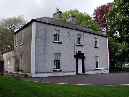 Fosterstown Housecountry house · 1.3 mi
 Dangan CastleCastle, tower house · 2.0 mi
 Saints IslandForest · 2.0 mi
 European ashEuropean ash · 3.4 mi
 Croppies' GraveMemorial · 10 mi
 Mass was there in Penal TimesMemorial · 11 mi
 Lismahon 1798 MemorialMonument · 11 mi
 Library GardenHeritage attraction · 13 mi