What is recorded here
Lanestown hides a fifty-metre circular enclosure beneath its tilable ridge, waiting for drought or rain to reveal its ghost line. The land has swallowed the ditch and wall, yet the shape remains patient under the soil. People walked past this place for generations, unaware that a room without roofs still holds its form beneath their feet.
Situated on a slight E-W ridge which is under tillage. An aerial photograph taken in 1970 (CUCAP, BDS 46) shows a roughly circular cropmark of a single-ditched enclosure (diam. c. 50m). Possibly a levelled ringfort. Not visible at ground level.
Compiled by: Geraldine Stout
Updated by: Christine Baker
Date of upload: 16 January 2015
The monument record does not grant public access. Check the route and ask the landowner before entering private land.
- What survives
- Recorded monument
Places near here
 Ring-ditch in Newbridge DemesneRing-ditch · 358 yd
 Donabate Distributor RoadMemorial · 362 yd
 Church (in ruins), Graveyard (disused)Church · 504 yd
 Enclosure in KilcreaEnclosure · 527 yd
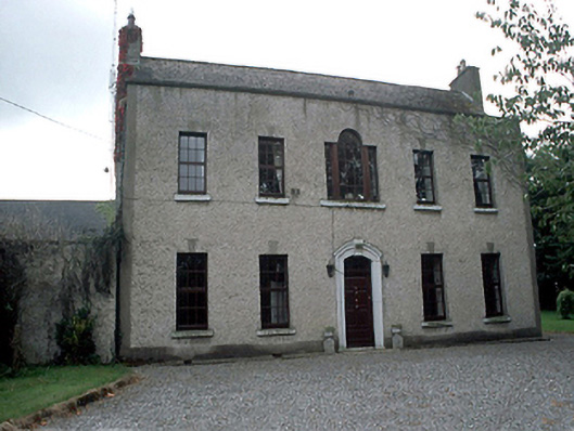 Kilcrea Housefarm house · 629 yd
 Old QuarryQuarry · 693 yd
 Lanestown Castle in ruinsCastle, tower house · 718 yd
 Newbridge House and DemesneHeritage attraction · 866 yd
 Tourist InformationVisitor information · 906 yd
 TowerCastle, tower house · 1469 yd
 Turvey Allotments and Nature ReserveNature reserve · 1.1 mi
 Shannon Valley CentreVisitor information · 1.3 mi