What is recorded here
Topsoil stripping for a gas pipeline on the level ground of Lagore Little revealed a five-metre spread of broken, burnt stone above two shallow pits, one rectangular and one circular. The stones had been heated until they cracked, then scattered across the soil where they lay waiting for centuries. Someone built a fire hot enough to shatter rock, perhaps to boil water, cook food or clean tools, then left the wreckage behind. The pipeline cut through that forgotten kitchen, exposing the sudden violence of heat and the quiet patience of earth.
Situated on a level landscape. Topsoil stripping (02E0194) in advance of a gas pipeline identified a burnt stone spread (1A/16/2) that was completely excavated (02E0692). A spread of broken and burnt stone (dims 5m x 2m) overlay a subrectangular pit (dims 1.9m x 0.6m; D 0.25m) filled with a silty humus deposit beneath a redeposit of subsoil, and a subcircular pit (dims 0.87m x 0.78m; D 0.18m) filled with fired material. The fulachta fia (ME038-035----; ME038-035001-) are c. 83m to the E, and the lithic scatter (ME038-037----) is c. 50m to the E. (Tobin 2003; 2004; 2007)
Compiled by: Michael Moore
Date of upload: 8 March, 2018
The monument record does not grant public access. Check the route and ask the landowner before entering private land.
- What survives
- Recorded monument
Places near here
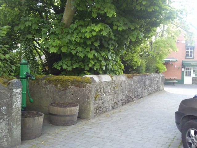 Enclosure in RatoathEnclosure · 1.3 mi
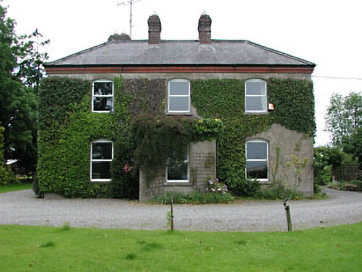 Park Househouse · 1.6 mi
 Church (Site of)Church · 1.7 mi
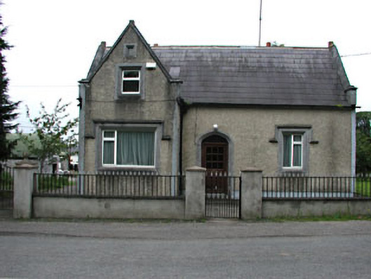 The Barrackshouse · 1.7 mi
 MoatCastle, motte and bailey · 1.9 mi
 Lemur WoodWood · 2.2 mi
 Emerald ParkHeritage attraction · 2.3 mi
 Macetown CastleCastle, tower house · 3.7 mi
 Newtown HillMountain / peak · 4.0 mi
 The Pond WoodWood · 4.5 mi
 Lismahon 1798 MemorialMonument · 4.6 mi
 Candle HillMountain / peak · 4.9 mi