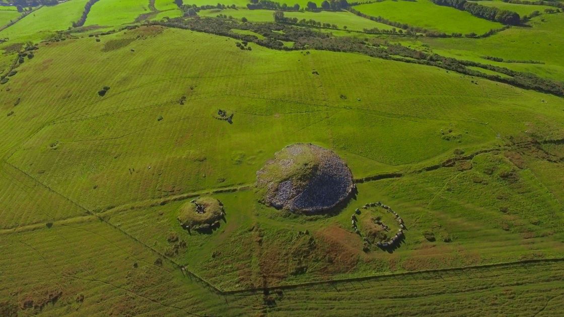
What is recorded here
Indicated is a ruined oval fort in County Meath, marked on the 1836 map but reduced by 1908 to a wood and a faint bank. The surrounding land is flat and low, making the slight rise and remaining trees stand out like a forgotten room in a empty house. Whatever lived there has mostly surrendered to soil and shadow, leaving only the shape of its boundary behind.
Situated on a slight rise in a fairly level low-lying landscape. An oval embanked enclosure with trees (dims c. 75m NE-SW; c. 60m NW-SE) is annotated ‘Fort’ on the 1836 edition of the OS 6-inch map and it is depicted as an oval wood on the 1908 edition. There is a slight earthen bank SE-S that is probably the last remnant of a tree-ring bank enclosing a small wood of mature deciduous trees.
The following description is derived from the published 'Archaeological Inventory of County Meath' (Dublin: Stationery Office, 1987). In certain instances the entries have been revised and updated in the light of recent research.
Compiled by: Michael Moore
Date of upload: 10 July 2007
Amended: 3 August, 2022
The monument record does not grant public access. Check the route and ask the landowner before entering private land.
- What survives
- Recorded monument
Places near here
 Church (Site of)Church · 779 yd
 Grave YardGraveyard · 788 yd
 European YewEuropean Yew · 1493 yd
 CastleCastle, tower house · 1.3 mi
 Simpson's MountainMountain / peak · 1.9 mi
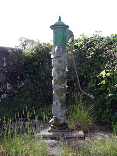 water pumpwater pump · 2.0 mi
 Mullagha HillMountain / peak · 2.0 mi
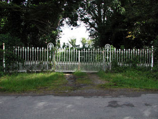 gates/railings/wallsgates/railings/walls · 2.0 mi
 Fox CovertForest · 2.1 mi
 Castletown FortCastle, motte and bailey · 2.7 mi
 Nobber GreenwayMemorial · 5.3 mi
 Pat's Art StudioGallery · 6.4 mi
Other information
Photo: Credit not shown in the picture search · Rights wording not checked; contact us if this picture should be removed