What is recorded here
At the W edge of a pasture field, located in an eroding cliff face (H 1.5m) above a storm beach. This slab-lined burial was partly eroded from the cliff face and a rescue excavation was carried out by the OPW in 1991 (Buckley et al. 1991-2). The grave, which underlay topsoil (D 0.3m), was cut into a layer (D 0.5m) of shingle which overlay limestone bedrock. It was oriented roughly E-W, with the head to the W, but by the time of the excavation the W end was already destroyed by erosion. The E end (1m E–W; 0.5m N–S) remained intact. The sides of the grave were constructed of limestone slabs set on edge with chocking stones in between. Two overlapping sets of flat slabs formed the roof. The poorly preserved leg bones of an adult, or more probably a sub-adult, individual were recovered. The slab walls of the grave, which were left in situ when the excavation was completed, have since been eroded by wave action. A slight subsidence (Wth 1m N-S) at the cliff edge is all that now marks the location. In local tradition the grave was known as the ‘Fisherman’s Grave’.
Compiled by: Jane O'Shaughnessy
Date of upload: 2 September 2013
A wedge tomb, dating to the Late Neolithic or Early Bronze Age (c. 2500–1500 BCE), significant as a rare example of megalithic funerary architecture in an eroding coastal setting.
The monument record does not grant public access. Check the route and ask the landowner before entering private land.
- What survives
- Recorded monument
Places near here
 Field system in Carrowhubbuck NorthField system · 532 yd
 CahermoreArchaeological place · 621 yd
 Castle FirbisCastle, tower house · 1053 yd
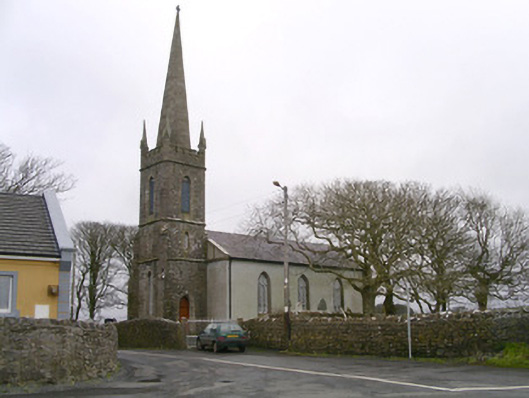 Kilglass Churchchurch/chapel · 1749 yd
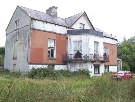 Kilglass Househouse · 1.1 mi
 Wild Atlantic Way: Inishcrone PierVisitor information · 1.2 mi
 Enniscrone BeachBeach / strand · 2.2 mi
 The Black PigMemorial · 2.4 mi
 Grave of the Black PigArchaeological place · 2.5 mi
 Rathlee HeadHeadland · 3.2 mi
 Horse IslandIslet · 3.6 mi
 Bartragh IslandIsland · 3.8 mi