What is recorded here
Graveyard in Lackan holds a buried church on a gentle slope beside a streaming water, its stone wall marking a rectangular bed of forgotten lives. The northern bank and fosse suggest an older enclosure, perhaps a fortress or boundary that death itself later inherited. To walk there is to stand inside layers of time, where prayer, defence and burial have all collapsed into one quiet ground.
Situated on a gentle SW-facing slope beside a stream. A roughly rectangular area (c. 32m N-S; 57m E-W) enclosed by a stone wall. A church (WI010-011001-) represented by a subrectangular raised area (dims. c. 20m x 15m) is to SW of centre. Part of the N graveyard wall which stands on an earth and stone bank (Wth 2m; H 1m) with an external fosse (Wth 1.8m; D 1m ) may be part of an earlier enclosure (WI010-011002-).
Compiled by: Matt Kelleher
Date of upload: 14 December 2012
The monument record does not grant public access. Check the route and ask the landowner before entering private land.
- What survives
- Recorded monument
Places near here
 Ecclesiastical enclosure in LackanEcclesiastical enclosure · 1 yd
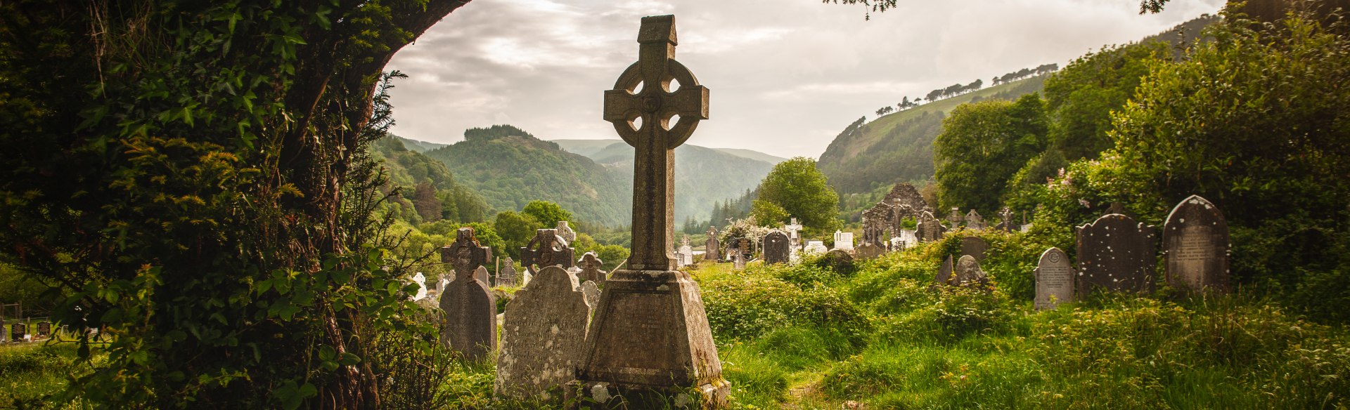 Templebodin Ch. (in Ruins)Church · 14 yd
 Font in KilbegFont · 505 yd
 Lacken – Mass Path LoopWalking route · 1206 yd
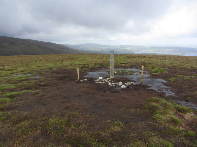 Black HillMountain / peak · 1.7 mi
 Sorrel HillMountain / peak · 1.8 mi
 Land Grabber MemorialRuins · 2.0 mi
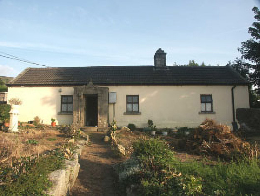 Saint Anthony'shouse · 2.1 mi
 Castle (in ruins)Castle, tower house · 2.8 mi
 Site of CastleCastle, unclassified · 2.9 mi
 OldcourtMemorial · 2.9 mi
 Artisans WorkshopsHeritage attraction · 3.8 mi