What is recorded here
Listed in the SMR (1989) and RMP (1995) as 'Earthworks'. Two circular enclosure-like features are visible on an aerial photograph (Air Corps AP, V 197/163-4). These are not indicated on any edition of the OS 6-inch maps and are not visible at ground level. It is possible that they were removed during land reclamations in the 1980s or in the course of the construction of the N4 in the 1990s and subsequent landscaping in 2000. The exact nature of these 'earthworks' are unknown.
Compiled by: Patrick F. O'Donovan
Date of upload: 17 August 2011
The monument record does not grant public access. Check the route and ask the landowner before entering private land.
- What survives
- Recorded monument
Places near here
 IndicatedPromontory fort, inland · 171 yd
 The Thatchhouse · 402 yd
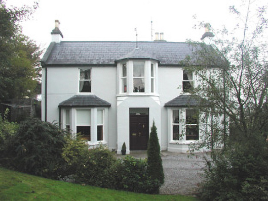 Arrow Lodgerectory/glebe/vicarage/curate's house · 604 yd
 Enclosure in BelladrihidEnclosure · 1087 yd
 CastleCastle, unclassified · 1473 yd
 Union RockForest · 1726 yd
 Battle of Collooneybattle · 1.2 mi
 Teeling MonumentMemorial · 1.2 mi
 BunreecoillMountain / peak · 1.4 mi
 SlievewardMountain / peak · 1.5 mi
 European ashEuropean ash · 2.2 mi
 Castle (Site of)Castle, unclassified · 3.0 mi