
What is recorded here
Twenty metres south of Knowth’s ridge, a grassy rectangle lies cradled in a shallow dip, its earthen bank still marking the edge of a life long forgotten. The bank at the east lies over a buried ring-ditch, suggesting the enclosure was not merely drawn but dug, defended or deliberately separated from the land around it. Perhaps people gathered there to tend herds, hold ceremony or keep something out. The shape remains clear enough to imagine breath, footsteps and the weight of ordinary days inside its borders.
Located in a slight E-W dip or fold between a rise to the N and the ridge of Knowth c. 200m to the S, and it is also c. 45m NE of the burial ground (ME019-028----). This is a rectangular grass-covered area (dims c. 45m NNE-SSE; c. 30m ENE-WSW) defined by an earthen bank (Wth c. 3-5m). The bank at E lies over the ring-ditch (ME019-029----).
See attached aerial photograph taken from Google Earth.
Compiled by: Michael Moore
Date of upload: 8 June 2021
The monument record does not grant public access. Check the route and ask the landowner before entering private land.
- What survives
- Recorded monument
Places near here
 Enclosure in KnowthEnclosure · 230 yd
 Not indicaetdPassage tomb · 572 yd
 Knowth Timber CircleHeritage attraction · 610 yd
 KnowthArchaeological place · 636 yd
 Knowth Fox CovertWood · 1047 yd
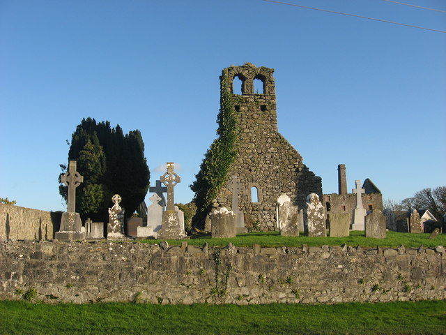 Church (in Ruins)Church · 1.1 mi
 mill (water)mill (water) · 1.1 mi
 Dowth CastleCastle, tower house · 1.6 mi
 Brú na Bóinne Visitors CentreVisitor information · 1.8 mi
 Little WoodForest · 2.1 mi
 Fennor CastleCastle · 2.2 mi
 RiverviewMemorial · 2.2 mi
Other information
Photo: Credit not shown in the picture search · Rights wording not checked; contact us if this picture should be removed