What is recorded here
Knockshangan holds a thirty-five metre earthen ring on level Meath soil, marked by a shallow bank, outer ditch and a causeway entering from the north-east. People called it a fairy fort, perhaps because ordinary human memory left the shape behind while the earth kept its own clean line. Rain and time have softened that line since, but the circle still resists forgetting.
Situated on a fairly level landscape. This was described in 1969 (SMR file) as a circular grass-covered area (diam. c. 35m) defined by an earthen bank (at E: Wth of base 3m; int. H 0.1-0.2m; ext. H 0.9m) and an outer fosse (at E: Wth of base 3m; ext. D 0.3m). There was an entrance (Wth of base 3m) and causeway (Wth of top 3.2m; H 0.3m) at NNE. Its visible profile was being eroded by 1995 (OSAP).
The above description is derived from the published 'Archaeological Inventory of County Meath' (Dublin: Stationery Office, 1987). In certain instances the entries have been revised and updated in the light of recent research.
Compiled by: Michael Moore
Date of revision: 28 February 2019
The monument record does not grant public access. Check the route and ask the landowner before entering private land.
- What survives
- Recorded monument
Places near here
 Enclosure in GreenanstownEnclosure · 1111 yd
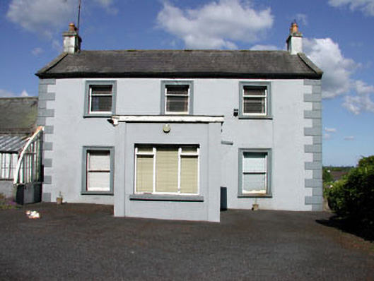 Castletown Housefarm house · 1.0 mi
 Fort woodedFairy fort / earthen ringfort · 1.1 mi
 CastleCastle, unclassified · 1.2 mi
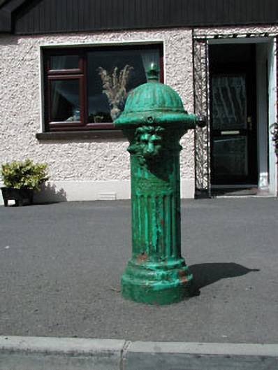 water pumpwater pump · 1.2 mi
 Bawn in Heathstown (delvin By.)Bawn · 1.7 mi
 FraineMountain / peak · 2.0 mi
 Beggarbush WoodWood · 2.3 mi
 Moneen WoodWood · 2.3 mi
 Drewstown LittleMountain / peak · 2.3 mi
 FarmaphobiaHeritage attraction · 3.0 mi
 Causey FarmHeritage attraction · 3.0 mi