What is recorded here
Lackbrooder children called it a Fairy Fort, but human hands built the outline long before whimsy touched the region. The landowner still guards that border, denying even surveyed entry to the shape beneath grass and memory. What resists observation may not be hidden from people, but protected from them.
Enclosure not depicted as an antiquity on OSI 6-inch maps and described in 1985 by the 'Castleisland District Archaeological Survey' as a 'fort' where they were refused access to the site by the landowner' (SMR file). Outline of possible 'fort' not visible on Digital Globe orthophoto taken between 2011-13. According to local folklore collected from Lackbrooder School this was known locally as 'a Fairy Fort' (The Schools’ Collection, Volume 0450, Page 149; https://www.duchas.ie/en/cbes/4713231/4709630/4760321).
Compiled by: Caimin O'Brien
Date of upload: 27 April 2022
The monument record does not grant public access. Check the route and ask the landowner before entering private land.
- What survives
- Recorded monument
Places near here
 KnockateeMountain / peak · 1.7 mi
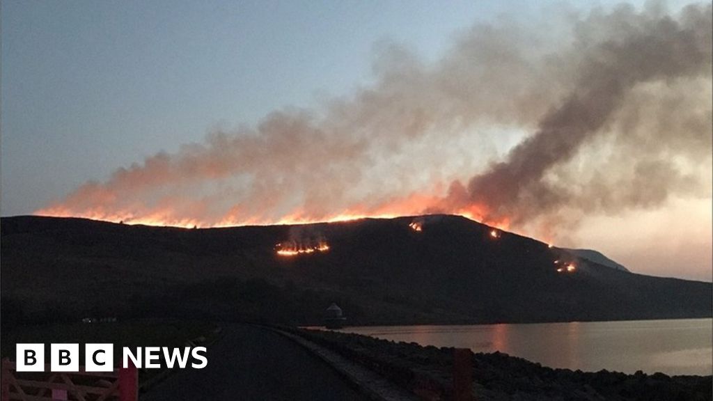 Burnt spread in Gneeves (trughanacmy By.)Burnt spread · 2.0 mi
 Mount EagleMountain / peak · 2.3 mi
 Enclosure in BallinardEnclosure · 3.0 mi
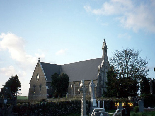 Saint Carthage's Catholic Churchchurch/chapel · 3.5 mi
 Kilmurry CastleCastle · 3.8 mi
 Castle (in ruins)Castle, unclassified · 3.8 mi
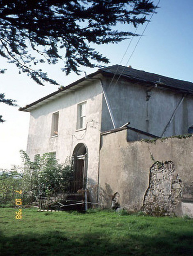 Kilmurry Househouse · 4.0 mi
 Three CountiesPicnic place · 4.6 mi
 Crag CaveCave · 5.6 mi
 Barna BogForest · 8.3 mi
 Kilflynn Nature ReserveNature reserve · 14 mi