What is recorded here
In pasture truncated by a drainage ditch 65m SW of the townland boundary with Glen (Clanwilliam By.). The barrow is one of a group of four barrows (LI024-161002/003-; LI024-244/-245----) in a cemetery 20m apart. The site is not depicted on historic OSi maps, it is faintly visible on OSi orthoimages taken 2005-12 and on the Digital Globe orthoimages taken 2011-2013. Identified during examination of Bruff aerial photographic survey of 1986 (Bruff AP 4/3681) as a ring-barrow. The site is faintly visible with its NE side truncated by a drainage ditch on the most recent Google Earth orthoimages taken 18/11/2018.
See attached Bruff survey image showing the site labelled Bruff 244 and Google Earth orthoimage
Compiled by: Edmond O’Donovan
Date of upload: 18 September 2020
A Neolithic ring-barrow; part of a small barrow cemetery. Its presence indicates early agrarian settlement and ritual practices in the region.
The monument record does not grant public access. Check the route and ask the landowner before entering private land.
- What survives
- Recorded monument
Places near here
 BarrowBarrow, ring-barrow · 74 yd
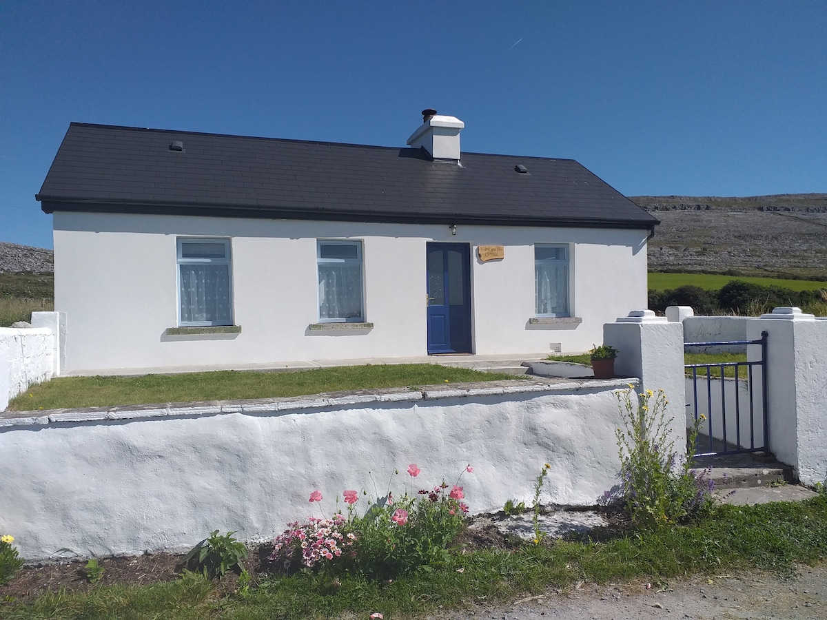 Hut site in Glen (clanwilliam By.)Hut site · 235 yd
 KnockseefinMountain / peak · 1160 yd
 (Site of) Nicker CastleCastle, unclassified · 1554 yd
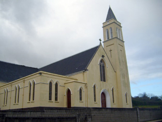 Catholic Church of Saint John the Baptistchurch/chapel · 1672 yd
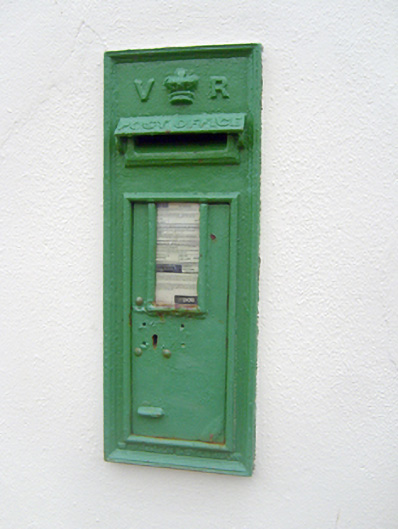 post boxpost box · 1706 yd
 Pallas MoatCastle, motte · 1.3 mi
 ToberagaddySpring · 2.1 mi
 St. Patrick's WellSpring · 2.2 mi
 Kilteely HillMountain / peak · 2.7 mi
 Flat cemetery in Knockainy WestFlat cemetery · 6.6 mi
 Ballinvreena LoopVisitor information · 12 mi