What is recorded here
Knockmark Graveyard holds the lost church of Knockmark inside a D-shaped wall on a NE-facing ridge in County Meath, with headstones spanning from 1780 to the present. The road curves around its perimeter like a boundary drawn by human hands, while the absent font and remaining graveslab suggest a place where memory was kept but not fully recorded. What is missing may have been forgotten, moved or buried beneath the ordinary business of living and dying.
Located towards the top of the NE-facing slope of a low NW-SE ridge. The site of the medieval church of Knockmark (ME044-001----) is within a D-shaped graveyard (max. dims c. 90m WNW-ESE; c. 50m NNE-SSW) defined by masonry walls, with the straight sides at W and S and a road curving around the perimeter NW-E-ESE. The headstones date from c. 1780 to the present. The graveslab (ME044-001002-) is in the graveyard but the font (ME044-001003-) is no longer present. Archaeological testing (22E0048) by I. Russell c. 90m to the NW at the closest point produced no related material (excavations.ie 2022:016).
Compiled by: Michael Moore
Date of upload: 7 April, 2015
The monument record does not grant public access. Check the route and ask the landowner before entering private land.
- What survives
- Recorded monument
Places near here
 Font in KnockmarkFont · 11 yd
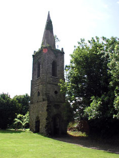 Knockmark Churchchurch/chapel · 28 yd
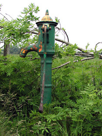 water pumpwater pump · 804 yd
 Ribstown fortFairy fort / earthen ringfort · 1431 yd
 Killeen CastleCastle, tower house · 1.7 mi
 CastleCastle, motte · 1.8 mi
 Dunsany WoodWood · 2.0 mi
 Laurel WoodsWood · 2.3 mi
 Lismahon 1798 MemorialMonument · 3.8 mi
 MullaghMountain / peak · 4.1 mi
 1798 MemorialMemorial · 4.3 mi
 Battle of Tara Hillbattle · 4.7 mi