
What is recorded here
Knocklough holds a faint circular ditch on the eastern shelf of Slieve Gullion, beside a ditch-barrow and a laneway that bends to avoid it. The mark has vanished from later images, yet the surviving line suggests people once shaped that slope before forgetting the name of the hand that cut it.
Situated on a broad shelf at the bottom of the E-facing slope of a prominent hill known as Slieve Gullion. A circular enclosure (diam. c. 25m) defined by what appears to be a fosse is visible on Google Earth (05/10/2009) but not on subsequent dates. It is also faintly visible on MapGenie images (1995) but not on other series. Nor is it depicted directly on any OS map, although a SE-NW laneway on the 1908 edition of the OS 6-inch map diverts to the E to avoid this feature. The ditch-barrow (ME015-132----) is c. 50m to the E, and both features were first reported by Jean Charles Caillére. See the attached enhanced view from Google Earth (05/10/2009) Compiled by: Michael Moore Date of upload: 12 July 2022
The monument record does not grant public access. Check the route and ask the landowner before entering private land.
- What survives
- Recorded monument
Places near here
 Slieve GullionMountain / peak · 211 yd
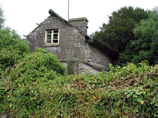 Loughcrew Housegate lodge · 1372 yd
 The Big DounArchaeological place · 1626 yd
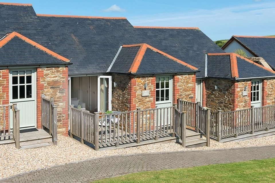 Keeper's CottageRuins · 1754 yd
 Enclosure in Rathbrack (fore By., Moylagh Par.)Enclosure · 1.1 mi
 The Keeper's FieldForest · 1.1 mi
 Kells HillMountain / peak · 1.2 mi
 Green CastleCastle, unclassified · 1.2 mi
 Bradley's WoodWood · 1.7 mi
 Moat of DiamorCastle, motte and bailey · 2.1 mi
 Zip WireHeritage attraction · 2.1 mi
 LoughcrewMegalithic tomb cemetery · 2.6 mi
Other information
Photo: Credit not shown in the picture search · Rights wording not checked; contact us if this picture should be removed