What is recorded here
In flat terrain at the base of a gentle N-facing slope, in a valley, under tillage since 1970s. Another enclosure (TS062-125----) is located c. 80m to SSE. Though this large enclosure (internal dims. 75m N-S) is completely levelled, the fosse which defines the eastern half is sometimes visible as a cropmark (Wth 5-6m). On the 25-inch OS map only the eastern half is depicted, defined by a bank along the southern part of the E side and along the S side, with an outer fosse which is waterlogged to the SE and S. This map also depicts an internal division in the SE sector consisting of a sub-rectangular enclosure (dims. c. 24m N-S; c. 35m E-W) defined by a bank on the N and W sides and by the main bank of the monument on the E and S sides.
Compiled by: Jean Farrelly
Date of upload: 26 August 2013
The monument record does not grant public access. Check the route and ask the landowner before entering private land.
- What survives
- Recorded monument
Places near here
 Enclosure in KnockkellyEnclosure · 156 yd
 Knockkelly CastleCastle · 379 yd
 Concentric enclosure in KnockkellyConcentric enclosure · 821 yd
 Slainstown Castle (in ruins)Castle, tower house · 958 yd
 Peppardstown Househouse · 1673 yd
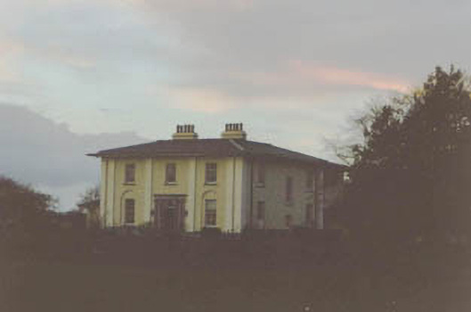 Coolmore Housecountry house · 1.3 mi
 Kilknockan HillMountain / peak · 1.3 mi
 East GateMemorial · 2.4 mi
 European YewEuropean Yew · 2.5 mi
 Grove WoodForest · 3.3 mi
 Eagle HillMountain / peak · 3.6 mi
 Gift Horse GalleryGallery · 9.5 mi