What is recorded here
In gently undulating terrain. Moated site (TS062-094----) is located c. 250m to N. Enclosure (diam. c. 50-60m) indicated on the 1903-04 OS 6-inch map as a multivallate enclosure. It has been levelled and is not visible at ground level. A stables, yard and barn have been built over the enclosure. It is shown on an aerial photograph taken in 1974 (GSI S.623/2) where it appears to have been quarried into.
Compiled by: Jean Farrelly
Date of upload: 26 August 2011
The monument record does not grant public access. Check the route and ask the landowner before entering private land.
- What survives
- Recorded monument
Places near here
 Ladys WellHoly well · 615 yd
 Slainstown Castle (in ruins)Castle, tower house · 698 yd
 Enclosure in KnockkellyEnclosure · 771 yd
 Knockkelly CastleCastle · 994 yd
 Peppardstown Househouse · 1491 yd
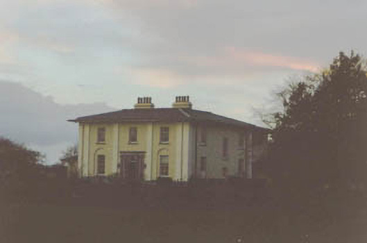 Coolmore Housecountry house · 1720 yd
 Kilknockan HillMountain / peak · 1.4 mi
 East GateMemorial · 2.5 mi
 European YewEuropean Yew · 2.6 mi
 Eagle HillMountain / peak · 3.4 mi
 Grove WoodForest · 3.5 mi
 Cashel Folk MusuemMuseum · 9.3 mi