
What is recorded here
Hachured, Bells Hill is a fairy fort or earthen ringfort in Knockdrin (corkaree By.), County Westmeath, Ireland. The site occupies a small hillock in undulating grassland with restricted views and consists of a raised circular area approximately 50 metres north-south and 48 metres east-west. This enclosure is defined by a poorly preserved earth and stone bank 0.2 metres high, which has been levelled at the northeast and is intersected at the west by a field fence running north-south and a drain. The outline of the levelled monument is clearly visible on a Digital Globe aerial photograph taken in November 2011.
Situated on a small hillock in undulating grassland, with restricted views. A raised circular-shaped area (approx. diam. 50m N-S; 48m E-W) enclosed by a poorly preserved earth and stone bank (H 0.2m) that has been levelled at NE. A field fence running N-S and drain intersects the perimeter of the monument at W. Outline of levelled monument clearly visible on Digital Globe aerial photograph taken November 2011.
Compiled by: Frank Coyne and Caimin O'Brien
Date of upload: 9 March 2018
The monument record does not grant public access. Check the route and ask the landowner before entering private land.
- What survives
- Recorded monument
Places near here
 OutlinedCastle, tower house · 603 yd
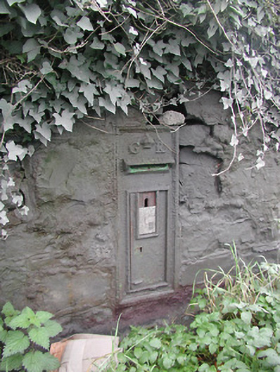 post boxpost box · 667 yd
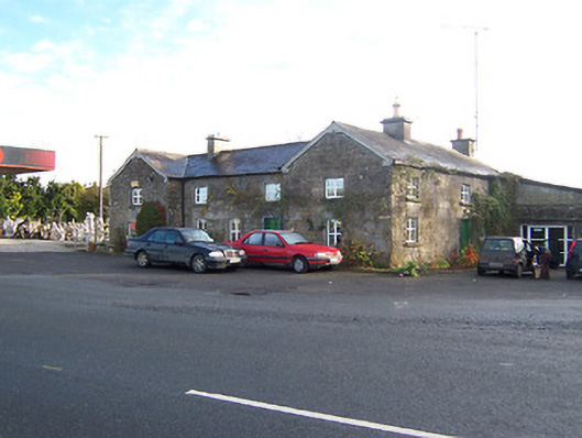 Rose Cottageworker's house · 685 yd
 Knockdrin CastleCastle · 686 yd
 ToberallenHoly well · 1334 yd
 Toberallen Church Yd.Churchyard · 1382 yd
 Long PlantingForest · 1.1 mi
 Scragh Bog Nature ReserveNature reserve · 2.3 mi
 Saint Brigid's WellSpring · 2.7 mi
 Church IslandIsland · 2.8 mi
 United Nations War MemorialMemorial · 3.2 mi
 Srudarra IslandIslet · 3.6 mi
Other information
Photo: Credit not shown in the picture search · Rights wording not checked; contact us if this picture should be removed