What is recorded here
Situated at the headwaters of a S-N stream on the E bank, close to the summit of a col between Croughaun Hill to the E and the Comeragh Mountains to the W. A grass-covered, stony mound (dims. 10.3m x 7m; H 0.4m) is adjacent to the stream. Fulacht fia (WA007-084001-) is c. 30m to the N.
The above description is derived from the published 'Archaeological Inventory of County Waterford' (Dublin: Stationery Office, 1999). In certain instances the entries have been revised and updated in the light of recent research.
Date of upload/revision: 20 July 2010
The monument record does not grant public access. Check the route and ask the landowner before entering private land.
- What survives
- Recorded monument
Places near here
 IndicatedEnclosure · 329 yd
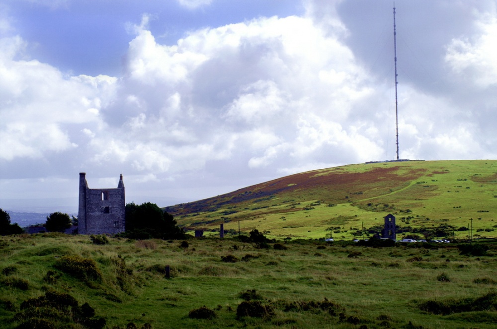 Mine in KnockaturnoryMine · 1171 yd
 Embanked enclosureFairy fort / ringfort · 1355 yd
 Church in CoolnahornaChurch · 1.0 mi
 Croughaun HillMountain / peak · 1.1 mi
 Kilclooney WoodForest · 1.3 mi
 CastleCastle, tower house · 2.0 mi
 LackaduffMountain / peak · 2.1 mi
 CoumshingaunMountain corrie and lake · 2.3 mi
 Feddans CastleRuins · 3.1 mi
 Whitestown WoodForest · 3.2 mi
 The Boolas Linear TrailWalking route · 3.2 mi