
What is recorded here
Indicated is a thirty-five-metre earthen ring in County Kildare, overlooking the River Liffey. Its northern bank has been cut back, perhaps by human hands or time, leaving the circle open to the sky. Cattle still move through the pasture where the fort stands, unaware they walk inside an old boundary. The river below carries water past the ridge, unchanged since the earth was first shaped into a ring.
Approximately circular area (diam. 35m) surrounded by a low earthen bank. It appears to have been cut back at the N. No visible trace of a fosse. Situated in pasture land overlooking the River Liffey.
Date of upload: 6 September 2016
This remains an important historical record, but the official description says the monument is no longer visible or has been destroyed. The monument record does not grant public access. Check the route and ask the landowner before entering private land.
- What survives
- No visible remains or recorded as destroyed
Places near here
 Glen WoodWood · 679 yd
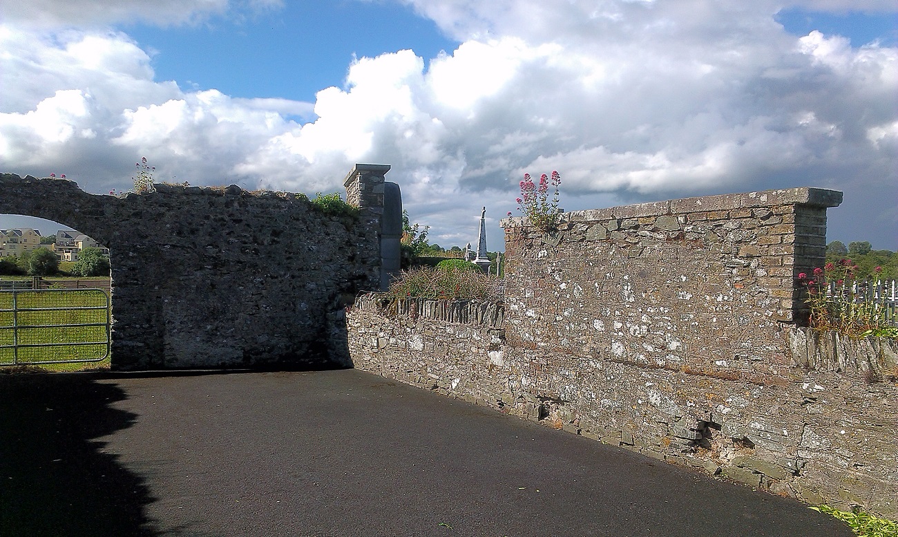 New Abbey WoodsWood · 1064 yd
 Logstown Cottagehouse · 1294 yd
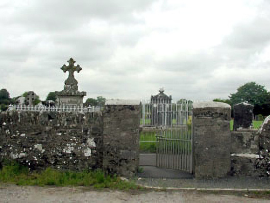 Newabbey Catholic Chapelabbey · 1458 yd
 Sir Roland FitzEustace EffigyMonument · 1472 yd
 Flower BedMonument · 1.1 mi
 1798 memorial stoneMonument · 1.1 mi
 Harristown CastleCastle, tower house · 1.8 mi
 Castlefish (in Ruins)Castle, unclassified · 3.0 mi
 Newbridge SilverwareMuseum · 4.5 mi
 Burial ground in CrehelpBurial ground · 5.5 mi
 Saint Kevin's CaveMemorial · 5.8 mi
Other information
Photo: Credit not shown in the picture search · Rights wording not checked; contact us if this picture should be removed