What is recorded here
King Turlouch may have fallen in that small interior mound, but the wide circular scar suggests a whole tribe once gathered there before forgetting his name. The enclosure still stands on its hillock, watching the bog and waiting for someone honest enough to ask who he was.
On the summit of a hillock in pastureland overlooking bogland to SW. Poorly preserved almost circular enclosure (E-W 32.5m, N-S 31.5m) defined by a scarp. A field boundary overlies the monument from N to NE. A small circular earthen mound (D 2.8m) occupies the interior. It is believed to be the grave of 'King Turlouch' (Killanin and Duignan 1967, 267). Dunmore Castle (GA017-069----) lies c. 250m to E. (Neary 1914, 116, no. 65; Knox 1918, 90)
The above description is derived from the published 'Archaeological Inventory of County Galway Vol. II - North Galway'. Compiled by Olive Alcock, Kathy de hÓra and Paul Gosling (Dublin: Stationery Office, 1999).
Date of upload: 05 August 2010
The monument record does not grant public access. Check the route and ask the landowner before entering private land.
- What survives
- Recorded monument
Places near here
 RathcollArchaeological place · 8 yd
 Dunmore CastleCastle · 266 yd
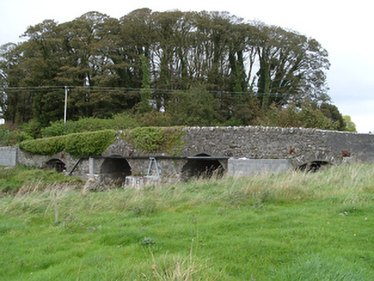 bridgebridge · 285 yd
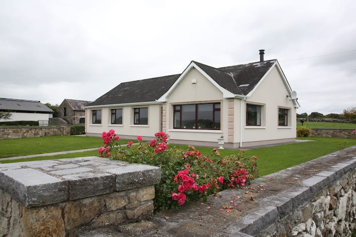 Enclosure in CastlefarmEnclosure · 286 yd
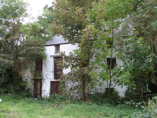 mill (water)mill (water) · 362 yd
 Site of Doonbally CastleCastle, unclassified · 3.7 mi
 Slieve DartMountain / peak · 3.8 mi
 European ashEuropean ash · 8.0 mi
 Mass RockNamed rock · 9.8 mi
 KnockmaaWood · 13 mi
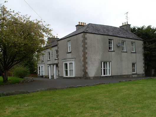 Saint Mary'shouse · 1139 yd
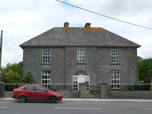 Merton Housepresbytery/parochial/curate's house · 1251 yd