What is recorded here
Located on a gentle NE-facing slope. The cropmark of an oval enclosure (dims c. 50m NE-SW; c. 38m NW-SE) defined by a single fosse (Wth c. 2-4m) is visible only on Google Earth (14/07/2018). The perimeter is slightly truncated by a NE-SW field bank, and a short WNW-ESE line of bushes is inside the perimeter at SW. It was first reported by Simon Dowling.
See the attached enhanced view from Google Earth
Compiled by: Michael Moore
Date of upload; 28 February 2020
The monument record does not grant public access. Check the route and ask the landowner before entering private land.
- What survives
- Recorded monument
Places near here
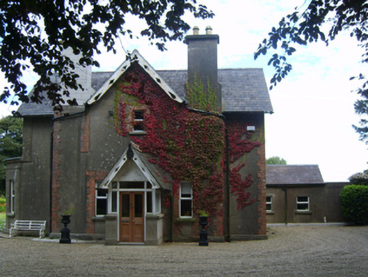 Kilrush Rectoryrectory/glebe/vicarage/curate's house · 1140 yd
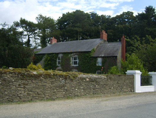 Clohamon Lodgefarm house · 1326 yd
 IndicatedFairy fort / earthen ringfort · 1331 yd
 Clohamon Castle (in ruins)Castle, unclassified · 1478 yd
 Ryland Castle (in ruins)Castle, unclassified · 1.1 mi
 European YewEuropean Yew · 1.2 mi
 European LarchEuropean Larch · 1.3 mi
 Borris Castle (in ruins)Gatehouse · 1.9 mi
 1798 rebellion Battle of Newtownbarry (AKA Bunclody) commemorative plaqueMemorial · 2.4 mi
 Bunclody 1798 Bicentenary MemorialMemorial · 2.5 mi
 Gibbet HillMountain / peak · 2.7 mi
 Huntington Castle & GardensHeritage attraction · 4.2 mi