What is recorded here
On a W-facing slope, 7m S of the back wall of a vernacular single-storey house. There are good views to the S and W, with Toureen Hill to the SW. A fairly flat-topped rectangular sandstone conglomerate (H 1.28m; L 0.4m; Wth 0.2m), aligned NE-SW, with a lot of small quartz pebbles, particularly on the SE face. There are horizontal marks on the N angle where the stone may have been used as a sharpening stone. The marks do not appear to be ogham in nature.
Compiled by: Jean Farrelly
Date of upload: 15 May 2013
Probably dates to the Neolithic or Early Bronze Age, given its form and location. It may have had a ritual or territorial function, possibly aligned with solar or landscape features, though specific folklore or use is not recorded.
The monument record does not grant public access. Check the route and ask the landowner before entering private land.
- What survives
- Recorded monument
Places near here
 Fulacht fia in KnockanaffrinFulacht fia · 481 yd
 CillChurch · 571 yd
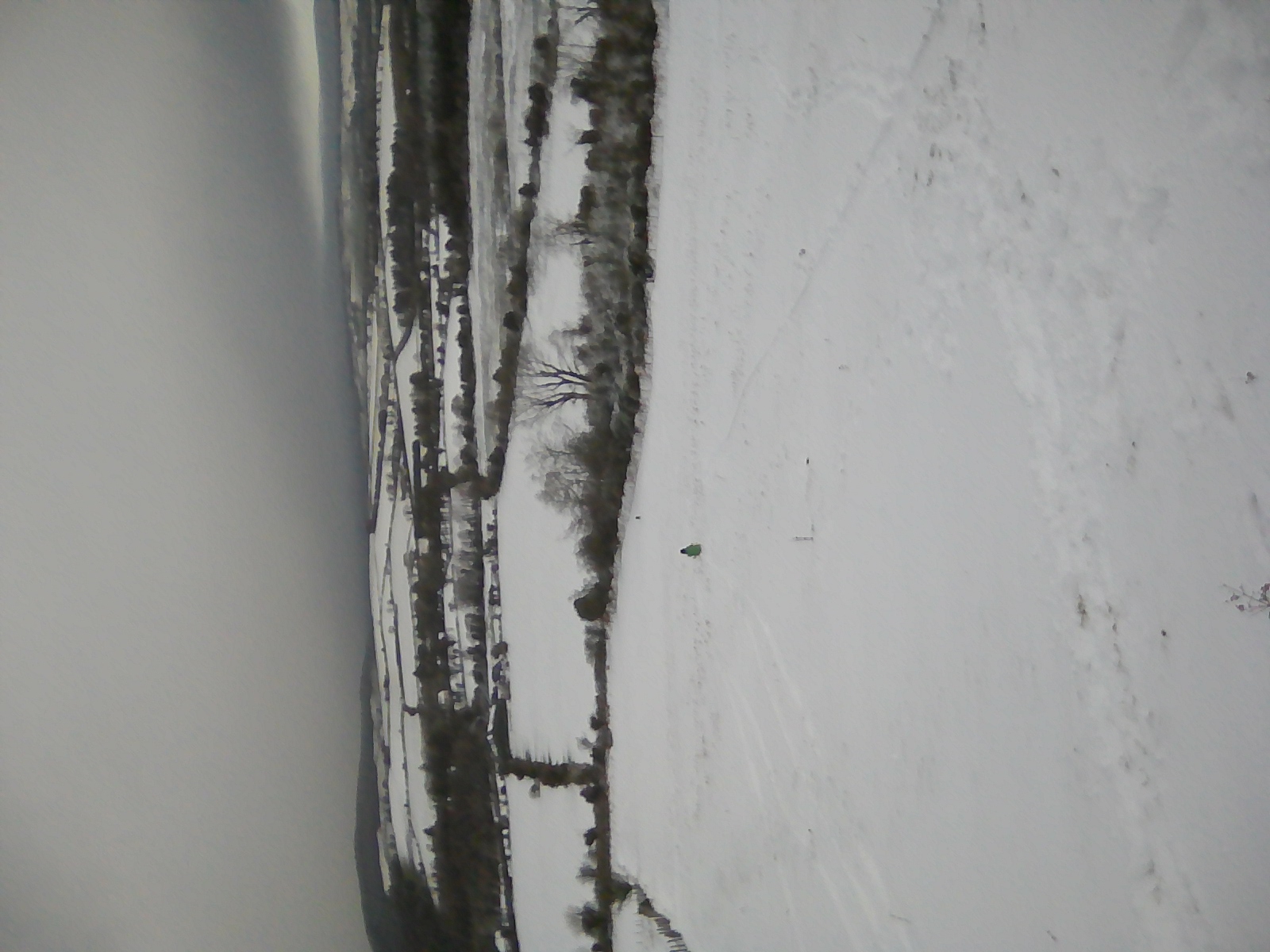 IndicatedEnclosure · 659 yd
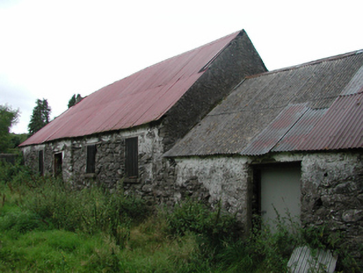 Nell's Cottagefarm house · 1165 yd
 KnockatedaunMountain / peak · 1.2 mi
 Knocknaree WoodForest · 1.2 mi
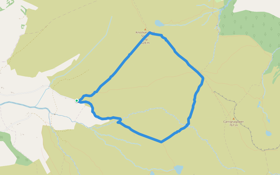 Coumduala LoopWalking route · 1.8 mi
 The Gap WalkWalking route · 1.8 mi
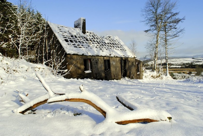 Knockanaffrin South TopMountain / peak · 1.9 mi
 Turraphuca WoodForest · 1.9 mi
 Curraheen TrailsVisitor information · 3.0 mi
 Mahon ValleyCliff · 3.6 mi