
What is recorded here
Situated on a SW facing slope on the NE side of the Nier valley, with a NE-SW stream c. 60m to the S. U-shaped scrub-covered mound (dims. 16m E-W; 9.4m N-S; max. H 1.88m) open to the N where there is hollow (dims. 2.8m E-W; 2m N-S; D 0.63m below external ground level). It is covered with a mantle of soil, although small fractured stones are evident on the S slope. It is known locally as a lios.
Compiled by: Jean Farrelly
Date of upload: 29 July 2008
The monument record does not grant public access. Check the route and ask the landowner before entering private land.
- What survives
- Recorded monument
Places near here
 CillChurch · 378 yd
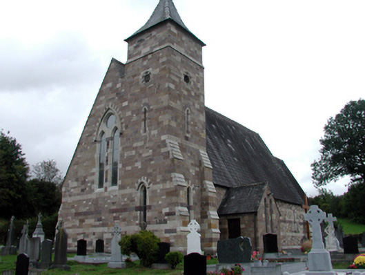 Catholic Church of Saint Helena of the CrossOfficially recorded historic building · 846 yd
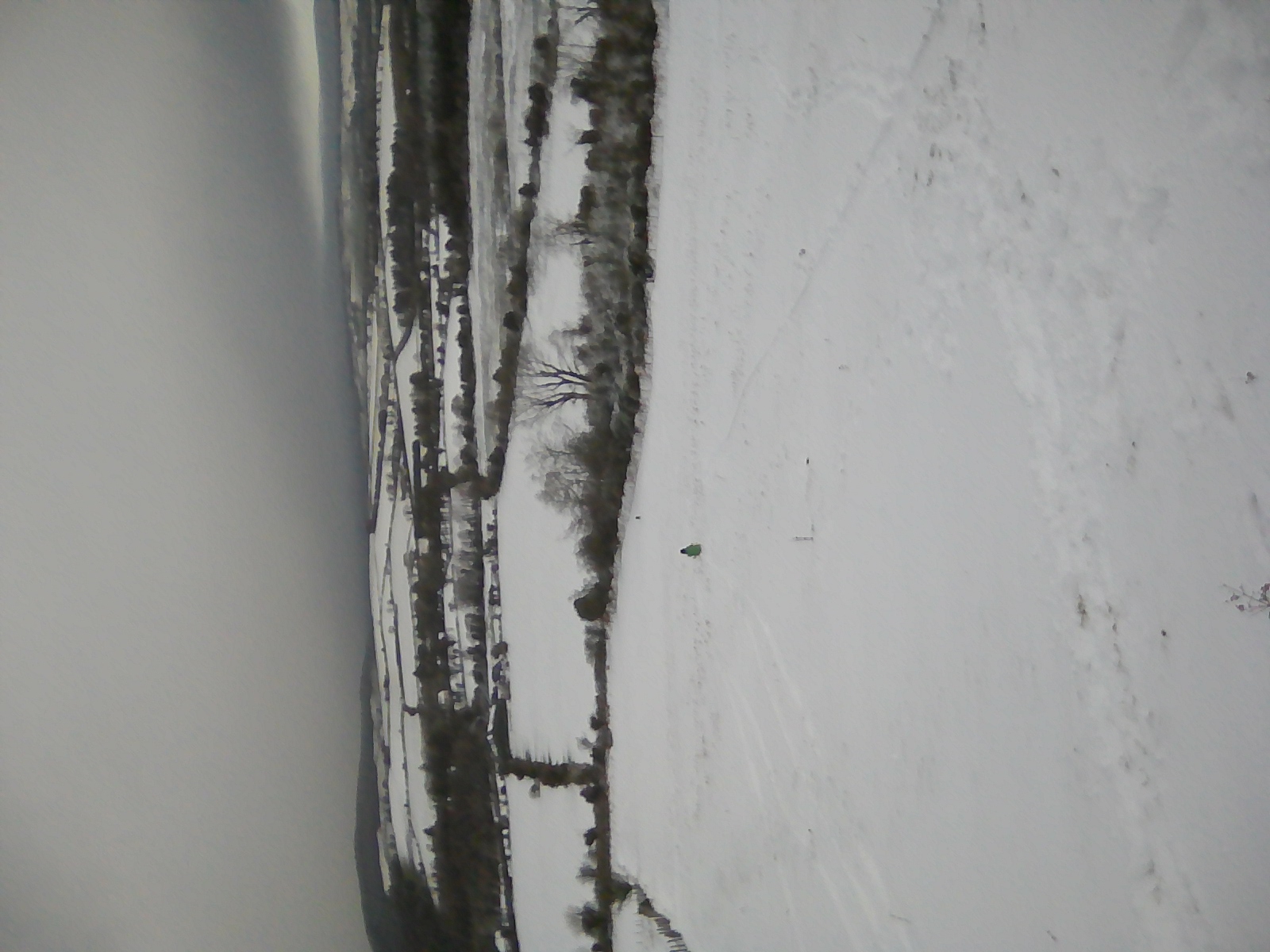 IndicatedEnclosure · 1072 yd
 Enclosure in KnockanaffrinEnclosure · 1204 yd
 Knocknaree WoodForest · 1.0 mi
 KnockatedaunMountain / peak · 1.2 mi
 Turraphuca WoodForest · 1.7 mi
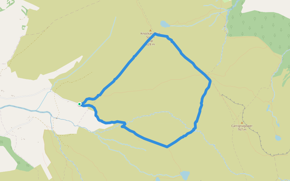 Coumduala LoopWalking route · 2.1 mi
 Siglloges LoopWalking route · 2.1 mi
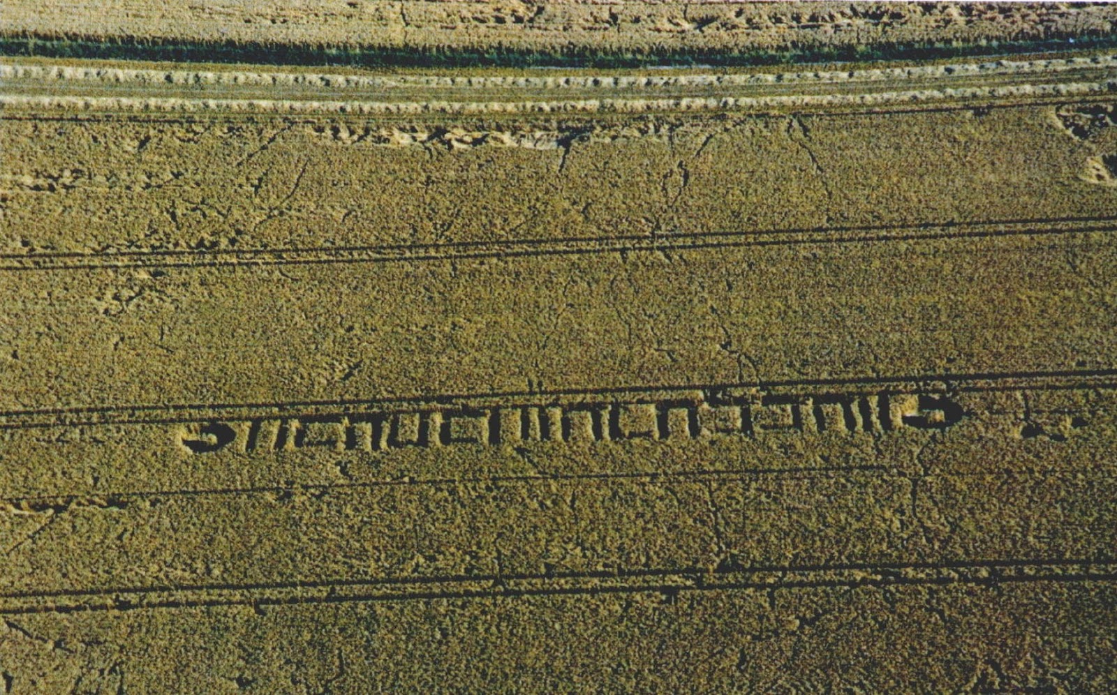 Milk HillMountain / peak · 2.1 mi
 Curraheen TrailsVisitor information · 3.3 mi
 Site of CastleCastle, unclassified · 3.4 mi
Other information
Photo: Credit not shown in the picture search · Rights wording not checked; contact us if this picture should be removed