What is recorded here
On flat poorly drained reclaimed grassland with good views in all directions. Mainly levelled possible ringfort consisting of a circular-shaped area (approx. diam. 45m N-S; 32m E-W) enclosed by an earth and stone bank (top Wth 1m; base Wth 3m; int. H 0.4; ext. H 0.5m) which is now only visible in S quadrant. Piles of building rubble in and around area where monument was located. It is possible that the enclosing element of the ringfort has been bulldozed away in most places possibly when the monument was being used as a dump for building rubble.
Compiled by: Jean Farrelly
Date of upload: 26 August 2011
The monument record does not grant public access. Check the route and ask the landowner before entering private land.
- What survives
- Recorded monument
Places near here
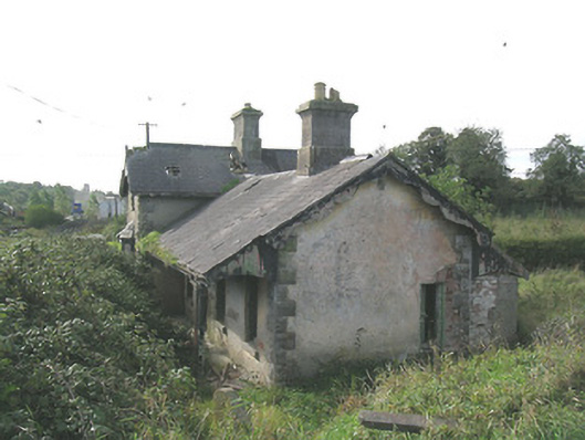 Laffansbridge Railway Stationrailway station · 859 yd
 Church Hill, BallintogherRuins · 1133 yd
 Enclosure in Ballintogher (graystown Par.)Enclosure · 1147 yd
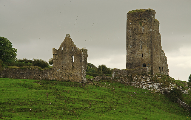 Bawn in GraystownBawn · 1687 yd
 Castle (in ruins)Castle, tower house · 1.1 mi
 Enclosure in Knockavadagh,springhill (killenaule Par.)Enclosure · 1.3 mi
 Gobban Saer's GraveArchaeological place · 1.4 mi
 Slieveardagh Heritage CentreVisitor information · 2.1 mi
 Noan WoodWood · 2.2 mi
 Derrynaflan TrailHeritage attraction · 2.4 mi
 Horse and JockeyVisitor information · 2.8 mi
 Taylor's WoodWood · 2.9 mi