What is recorded here
Fairy forts are a human story, not a literal one, but they show that people saw these rings as living places rather than dead ruins. Knockaderry is one of those rings, a circular earthwork in open pasture where the boundary between human and fairyland became thin. The field itself remembers the shape, even when nobody speaks its name.
In pasture, on N-facing hill slope. Circular area (diam. 38.5m) enclosed by earthen bank, with external fosse (Wth 1m; D 1.65m) S->E. Bank (int. H 0.6m; ext. H 2.5m), best preserved where incorporated into field boundary system S->NW, lowers at ENE for c. 6m. Fosse, widest along W side (Wth 5.4m), shallows out noticeably NW->E. Interior, under pasture, rises up gently at edges to meet enclosing bank. Farm passage skirts around outer edge of fosse S->NW.
Compiled by: Denis Power
Date of upload: 26 August 2011
The monument record does not grant public access. Check the route and ask the landowner before entering private land.
- What survives
- Recorded monument
Places near here
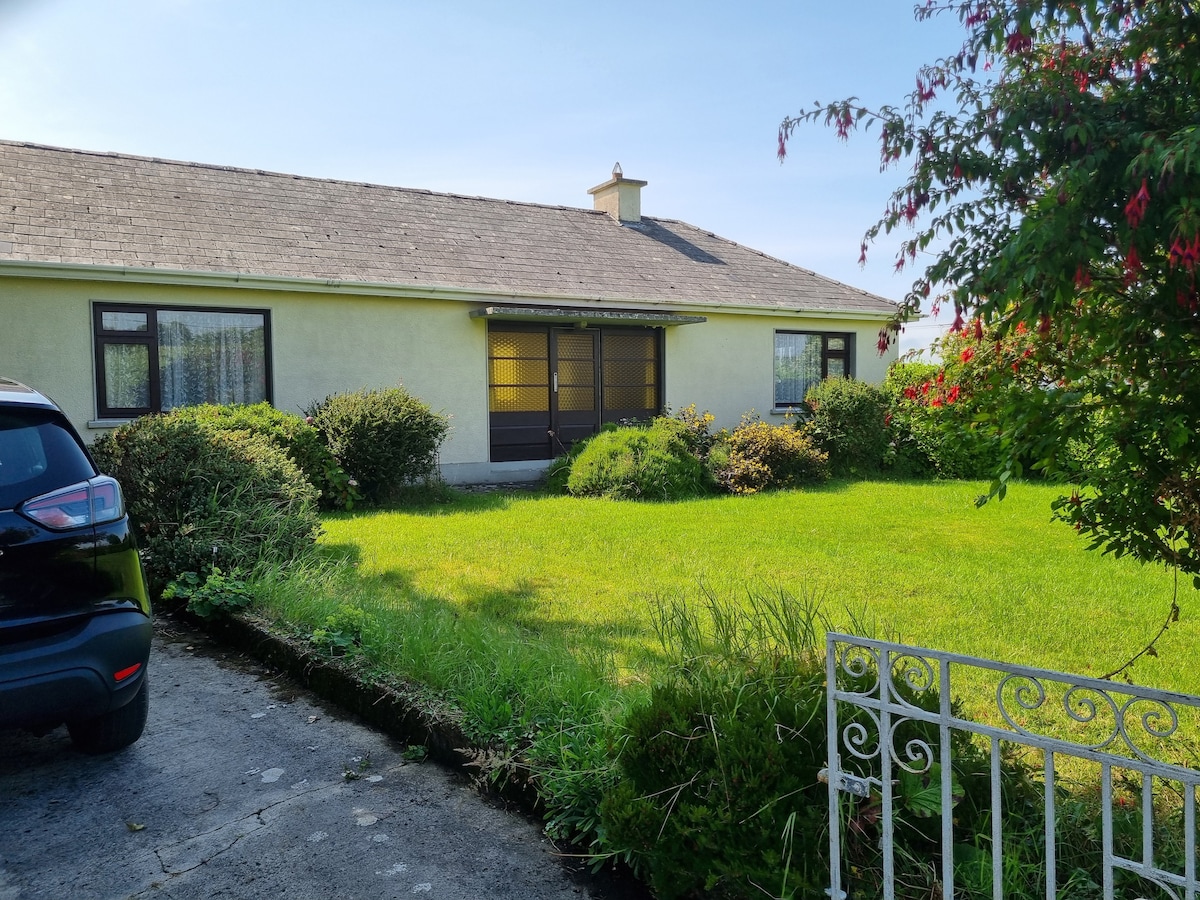 Enclosure in Loghill (connello Lower By.)Enclosure · 557 yd
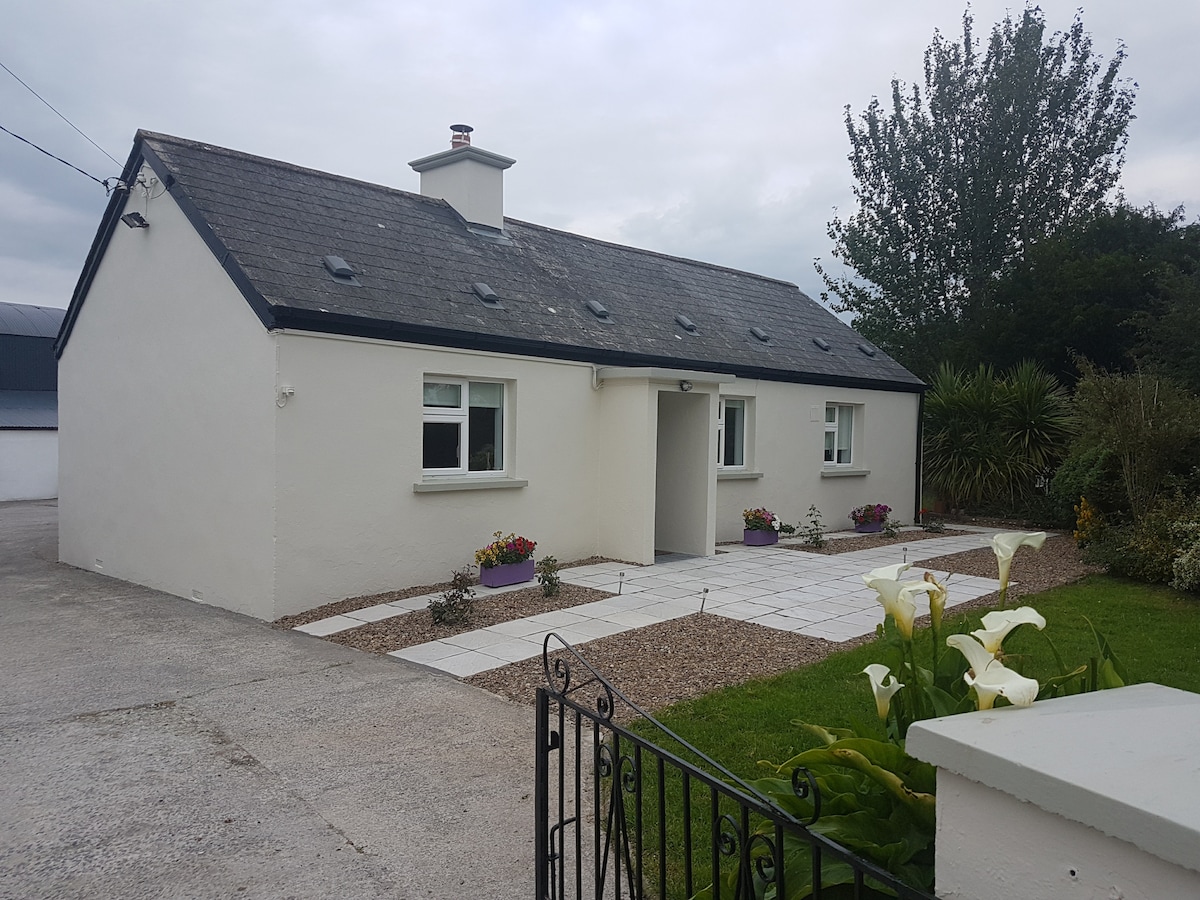 Enclosure in KnockaderryEnclosure · 857 yd
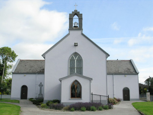 Saint Munchin's Catholic Churchchurch/chapel · 1215 yd
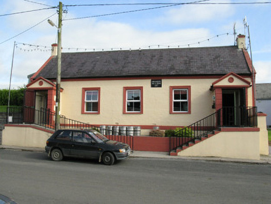 Knockaderry Hall and Libraryhall · 1226 yd
 CastleCastle, tower house · 1.0 mi
 European ashEuropean ash · 1.1 mi
 LaghtpatrickSpring · 2.1 mi
 Ballynoe Castle (in ruins)Castle, tower house · 2.5 mi
 Lady's WellSpring · 2.7 mi
 Limerick GreenwayWalking route · 7.1 mi
 Sugar HillMountain / peak · 8.5 mi
 Ballagh MountainMountain / peak · 8.7 mi