What is recorded here
Situated in low-lying tillage E of St Doulagh's Church (DU015-009001-). An aerial photograph taken in 1971 (FSI 403/2) shows a cropmark of a circular single-ditched enclosure (diam c. 40m). It may be a ploughed-out ringfort. Not visible at ground level.
Compiled by: Geraldine Stout
Updated by: Christine Baker
Date of upload: 25 January 2015
The monument record does not grant public access. Check the route and ask the landowner before entering private land.
- What survives
- Recorded monument
Places near here
 Ring-ditch in SaintdoolaghsRing-ditch · 306 yd
 Earthwork in SaintdoolaghsEarthwork · 365 yd
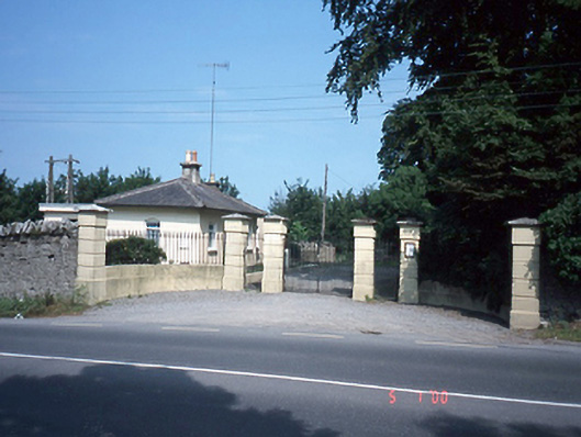 Saint Doolagh's Parkgate lodge · 380 yd
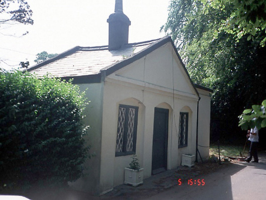 Bohomergate lodge · 389 yd
 St Catherine's WellSpring · 435 yd
 Strand Mill RuinsRuins · 1.3 mi
 CastleCastle, unclassified · 1.3 mi
 Ayrfied UnitedHeritage attraction · 1.4 mi
 Map of Baldoyle Industrial EstateVisitor information · 1.7 mi
 Black WoodWood · 1.7 mi
 MoatCastle, motte and bailey · 1.8 mi
 Malahide DemesneVisitor information · 2.0 mi