What is recorded here
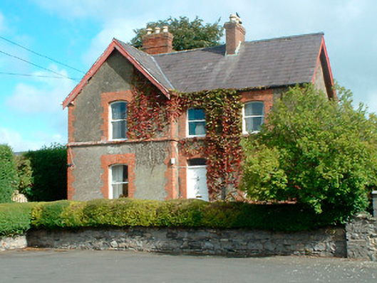
Detached three-bay two-storey former schoolmaster's house, built c.1893, having an advanced gable-fronted bay to the east end of the main elevation (south). Now in use as a private dwelling. Pitched natural slate roofs with overhanging eaves and two red brick chimneystacks, one original the other rebuilt. Roughcast rendered walls with extensive red brick trim, including dressings to the openings, a projecting sill course at first floor level and flush quoins to the corners. Shallow segmental-headed window openings with one-over-one pane timber sliding sash windows. Central shallow segmental-headed doorway having brick dressings and a timber panelled door with plain overlight. Rubble limestone boundary wall to the south. Located to the north of the associated school (15416004) at end of a narrow lane running from the south and to the northeast end of Kinnegad.
A charming and well-detailed late nineteenth-century former schoolmaster’s house, associated with Kinnegad National Schools (15316004) to the south, which retains its early from and character. This appealing building retains many original features and is pleasantly situated off Main Street. This house is very similarly detailed to the adjacent school and was probably built to designs by the same builder/architect, an A. Scott. The contrast between the roughcast rendered walls and the extensive red brick detailing creates a pleasant appearance. This building forms part of a good quality pair of related structures and is an important element of the architectural heritage of the local area.
This does not grant access. Most recorded buildings are privately owned; view them only from public ground unless the owner allows entry.
Places near here
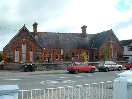 Kinnegad National Schoolschool · 48 yd
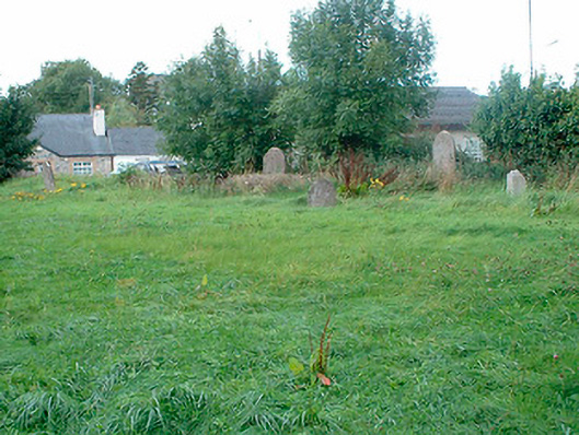 graveyard/cemeterygraveyard/cemetery · 76 yd
 OutlinedFairy fort / earthen ringfort · 605 yd
 Partially hachuredFairy fort / earthen ringfort · 1747 yd
 Ardnamullan CastleCastle, tower house · 1.7 mi
 Queen Marys CastleCastle, tower house · 2.7 mi
 Abandoned Kinnegad CanalWood · 3.9 mi
 Rahin WoodsForest · 4.2 mi
 Croppies' GraveMemorial · 4.3 mi
 Moat HillMountain / peak · 6.2 mi
 Sli na Slainte - mapVisitor information · 14 mi
 Allen family memorial headstoneMemorial · 14 mi
Other information
Photo: National Inventory of Architectural Heritage · Website use allowed for educational or private purposes with source credit