What is recorded here
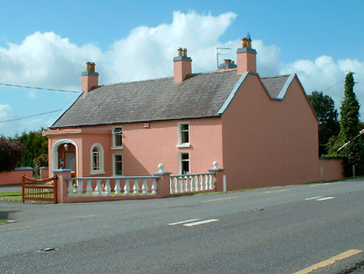
Detached double-pile four-bay two-storey house, c.1840, having a single-bay flat-roofed entrance porch to the south end of the principal elevation (east). Pitched natural slate roof with rendered verges to the gable ends (north and south) and having four rendered chimneystacks with terracotta chimney pots over. Ruled-and-line rendered walls with square-headed window openings with rendered reveals, cut stone sills and replacement windows. Round-headed arch to the front face of porch (east), having rendered surround, containing a modern square-headed doorcase with modern infill panels to either side. Round-headed window openings to the side elevations of porch (north and south) having moulded surrounds and timber sash windows with margin glazing pattern. Moulded decorative cornice over porch. Set back from road, aligned at a right angle to the road alignment, to the northwest of Kinnegad. Balustraded boundary wall to the road frontage. Single and two-storey outbuildings to the south having roughcast rendered walls, pitched natural slate or corrugated metal roofs and square-headed openings.
A curious two-storey extended vernacular house, which retains its early character despite alterations over the years. The well-detailed and rather oversized porch to the south end of the front side is an interesting feature, which gives this building an unusual and somewhat unbalanced appearance. This porch is a later addition, probably added during the late nineteenth or early twentieth-century . The retention of the timber sliding sash windows to the side elevations of this porch is a notable feature. The position of the chimneystacks and the proportions of the window openings suggest that this building was extended on at least two occasions. The good quality traditional outbuildings to the rear add substantially to this composition and complete the setting. This building is an interesting feature along the main road between Kinnegad and Mullingar and is a worthy addition to the built heritage of the local area.
This does not grant access. Most recorded buildings are privately owned; view them only from public ground unless the owner allows entry.
Places near here
 Partially hachuredFairy fort / earthen ringfort · 1253 yd
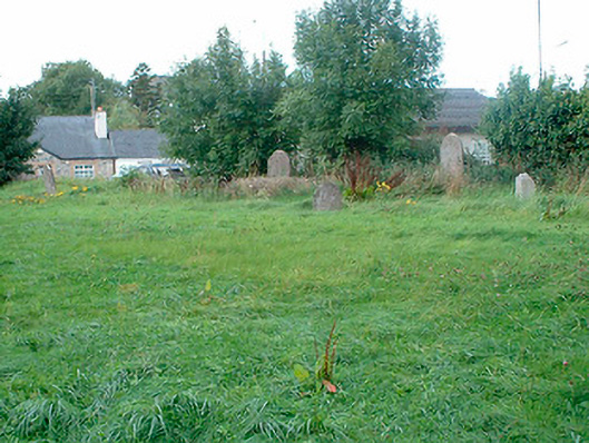 graveyard/cemeterygraveyard/cemetery · 1526 yd
 OutlinedFairy fort / earthen ringfort · 1568 yd
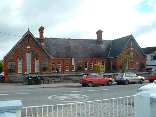 Kinnegad National Schoolschool · 1618 yd
 Rattin CastleCastle, tower house · 2.5 mi
 Ardnamullan CastleCastle, tower house · 2.6 mi
 Abandoned Kinnegad CanalWood · 4.6 mi
 Rahin WoodsForest · 5.0 mi
 Croppies' GraveMemorial · 5.2 mi
 Sli na Slainte - mapVisitor information · 14 mi
 Allen family memorial headstoneMemorial · 14 mi
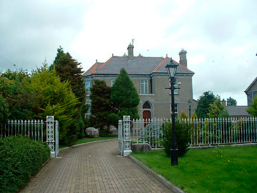 Catholic Church of the Assumptionpresbytery/parochial/curate's house · 1.0 mi
Other information
Photo: National Inventory of Architectural Heritage · Website use allowed for educational or private purposes with source credit