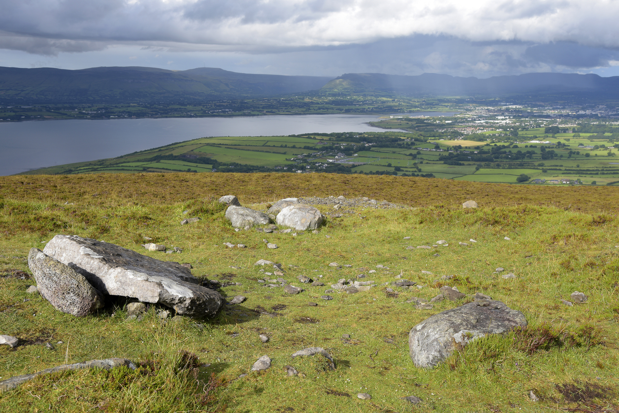
What is recorded here
In pasture, on a S-facing slope of the Ox Mountains. A subcircular area (int. diam. 11m) enclosed by a ruinous stone wall (T 1m; int. H 1.6m; ext. H 1m). The entrance (Wth 0.5m) is in the S arc.
The above description is derived from the published 'Archaeological Inventory of County Sligo' compiled by Ursula Egan, Elizabeth Byrne, Mary Sleeman with Sheila Ronan and Connie Murphy (Dublin Stationery Office, 2005).
Date of upload: 18 January 2008
The monument record does not grant public access. Check the route and ask the landowner before entering private land.
- What survives
- Recorded monument
Places near here
 Holy WellHoly well · 927 yd
 Tullaghan CastleCliff-edge fort · 942 yd
 Tullaghan HillMountain / peak · 965 yd
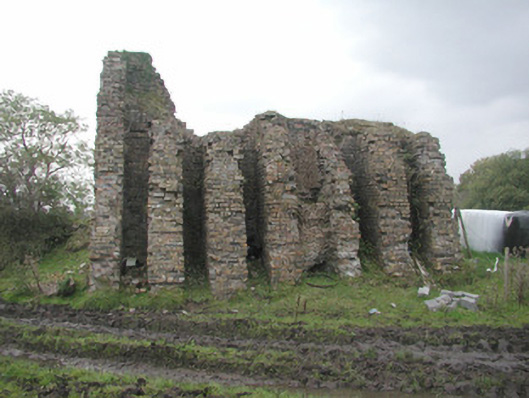 Coolaney Brick Workskiln · 1099 yd
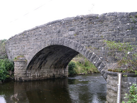 Billa Bridgebridge · 1366 yd
 CroaghaunMountain / peak · 1484 yd
 Moymlough Castle (in Ruins)Castle, tower house · 1543 yd
 RinnatalleenHeadland · 2.2 mi
 Castle (Site of)Castle, unclassified · 3.0 mi
 Teeling MonumentMemorial · 3.1 mi
 Battle of Collooneybattle · 3.2 mi
 Union RockForest · 3.9 mi
Other information
Photo: Credit not shown in the picture search · Rights wording not checked; contact us if this picture should be removed