What is recorded here
In pasture on a gentle S-facing slope with wide views over Liscannor Bay to the S. Hachured on both the first (1842) and Cassini (1920) editions of the OS 6-inch map. Listed as ‘Enclosure’ in the RMP (1996). This subcircular rath (diams. 28m NW-SE; 25m NE-SW) is defined by an earth and stone bank (Wth 1-3m; int. H 0.1-0.15m; ext. H 0.25-0.4m) which is topped by a modern stone wall from NW-NE-SE. Several piles of field clearance rubble lie along the perimeter of the site at W while at S a bank of rubble stone (Wth 1.6m) suggests that the enclosure may have been a stone cashel, a suggestion supported by the apparent absence of an enclosing fosse. A livestock track runs through the enclosing element at SE. The interior is slightly dished and, apart from some overgrowth on the perimeter, is generally free of such growth.
Compiled by: Gearóid Conroy and Conn Herriott
Date of upload: 3-10-2025
The monument record does not grant public access. Check the route and ask the landowner before entering private land.
- What survives
- Recorded monument
Places near here
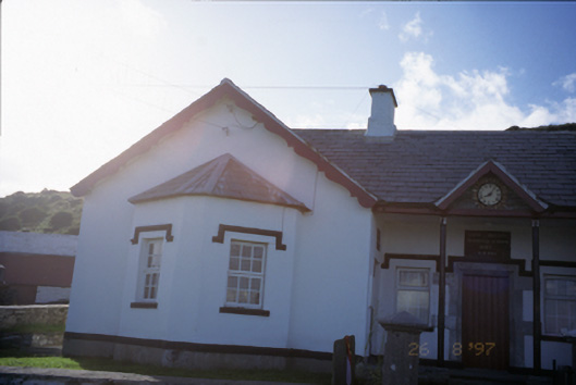 Saint Bridget's National Schoolschool · 611 yd
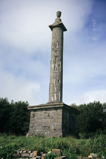 O'Brien's Monumentmonument · 976 yd
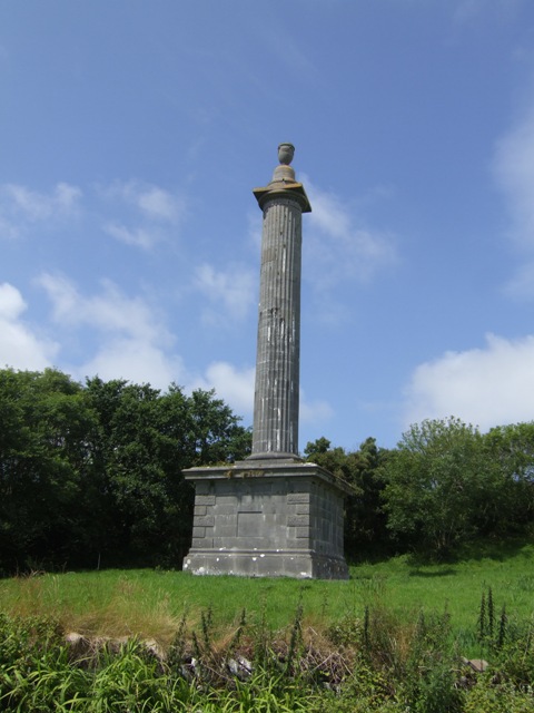 O’Briens MonumentMonument · 982 yd
 Bridget's Well;St Bridget's WellSpring · 1028 yd
 St Bridgets WellHoly well · 1033 yd
 CastleCastle, unclassified · 1287 yd
 Cliffs of MoherCliff · 1.3 mi
 Sightseeing Cliffs of Moher SouthViewpoint · 1.5 mi
 John P. Holland CentreMuseum · 1.6 mi
 Liscannor Castle (in Ruins)Castle, tower house · 1.7 mi
 Cliffs of Moher Visitor CentreVisitor information · 1.8 mi
 Sea StackMountain / peak · 2.0 mi