What is recorded here
Grave Yard in County Donegal is a circular burial ground twenty-six metres across, half-hidden by grass and cut in two by a modern field boundary. Its stone wall sits atop an older collapsed edge, suggesting people marked this spot long before the current fence. The valley slope remains quiet, but the layered walls imply death and memory once occupied the same ground now used for pasture.
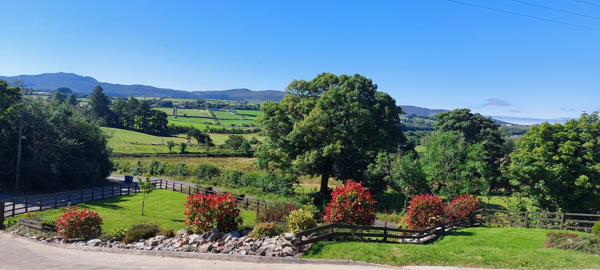
The 'graveyard' marked on the OS 6-inch maps consists of a subcircular area 26m to 27m in diameter enclosed by a modern stone wall built on top of what appears to be an earlier collapsed wall. A modern field boundary running E-W divides the site in half. The site, which is located on the W slope of a small valley in good pasture, is heavily overgrown.
The above description was derived from the 'Archaeological Survey of County Donegal. A description of the field antiquities of the County from the Mesolithic Period to the 17th century.' Compiled by: Brian Lacey with Eamon Cody, Claire Cotter, Judy Cuppage, Noel Dunne, Vincent Hurley, Celie O'Rahilly, Paul Walsh and Seán Ó Nualláin (Lifford: Donegal County Council, 1983). In certain instances the entries have been revised and updated.
Date of upload: 22 September 2008
The monument record does not grant public access. Check the route and ask the landowner before entering private land.
- What survives
- Recorded monument
Places near here
 Claggan Half-Fosse Fairy FortFairy fort / earthen ringfort · 376 yd
 Claggan Stone RingfortFairy fort / stone ringfort · 401 yd
 outbuildingoutbuilding · 1.0 mi
 The White Heather Innhouse · 1.1 mi
 Rough IslandIslet · 1.8 mi
 WoodquarterForest recreation place · 2.0 mi
 Cranberry IslandIslet · 2.7 mi
 Croaghan HillMountain / peak · 3.7 mi
 Drummonaghan WoodForest recreation place · 4.2 mi
 Bawn in RathmeltonBawn · 4.2 mi
 Tullyaughnish Old Church GraveyardGraveyard · 4.4 mi
 Loughsalt MountainMountain / peak · 4.6 mi