What is recorded here
On a rise with ground falling gradually to the S, in undulating terrain. On the 1st (1840) ed. OS 6-inch map the graveyard is delineated by a dashed line which suggests an unenclosed graveyard, however, by the 2nd (1904) ed. the graveyard wall has been built. Within this wall there is evidence of an earlier enclosing element (dims. 41.3m E-W; 35m N-S to S wall of graveyard where the land falls sharply on the outside) in the form of a broad low earthen bank (Wth at crest 0.8m; Wth at base 2.4m; int. H 0.23m; ext. H 0.62m) which runs roughly parallel to the N wall of the graveyard and along the N end of the E wall. It can be traced along the W side as a scarp (Wth 1.6m; int. H 0.1m; ext. H 0.4m). A 19th century vault and a burial plot has destroyed the bank in the NE quadrant and there is no trace of it in the southern part of the E quadrant or in the S, though a sharp fall in ground level beyond the southern graveyard wall may be a natural enclosing element. The entrance to the graveyard is in the W, along the roadside. Though the visible headstones are of 18th and 19th century date, there is also a late medieval graveslab (TS063-063004-) and an armorial plaque (TS063-063005-) S of the church.
Compiled by: Jean Farrelly
Date of revised upload: 6 October 2014
This remains an important historical record, but the official description says the monument is no longer visible or has been destroyed. The monument record does not grant public access. Check the route and ask the landowner before entering private land.
- What survives
- No visible remains or recorded as destroyed
Places near here
 Wall monument in KilvemnonWall monument · 6 yd
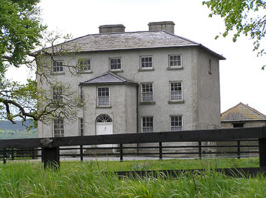 rectory/glebe/vicarage/curate's houserectory/glebe/vicarage/curate's house · 193 yd
 Enclosure in Ballydavid (kilvemnon Par.),kylawillingEnclosure · 1.1 mi
 Enclosure in MullinahoneEnclosure · 1.5 mi
 St. Johns Monastery (in ruins)Castle, hall-house · 1.6 mi
 European ashEuropean ash · 1.6 mi
 Silver FirSilver Fir · 1.7 mi
 The SpoutMemorial · 1.8 mi
 Killamery High CrossVisitor information · 2.3 mi
 KillameryVisitor information · 2.3 mi
 Bawn in GarryrickinBawn · 2.7 mi
 James (Jim) McKennaMemorial · 3.6 mi