What is recorded here
That is certain. Kiltycon contains a large earthen ringfort on a WNW-facing slope in County Longford, Ireland. The oval enclosure measures about 58 metres north-south and 42 metres east-west, with field boundaries preserving its bank and outer ditch. Cattle still walk beside the old fort, while the hidden entrance and vanished stony spread remain absent from the visible ground.
On a WNW-facing slope in pasture. Depicted as a large, roughly heart-shaped enclosure with the designation 'Fort' on the 1837 ed. of the OS 6-inch map. This raised roughly oval area (c. 58m N-S; c. 42m E-W) is defined from E-S-WSW by field boundaries, which almost certainly incorporate the circuit of a bank with an external fosse. Elsewhere its outline is indicated by levelled field boundaries. The original entrance is not recognisable. A report in 1990 (SMR file) noted a stony spread in the interior at W. This feature is no longer visible.
Compiled by: Patrick F. O'Donovan
Date of upload: 26 August 2011
The monument record does not grant public access. Check the route and ask the landowner before entering private land.
- What survives
- Recorded monument
Places near here
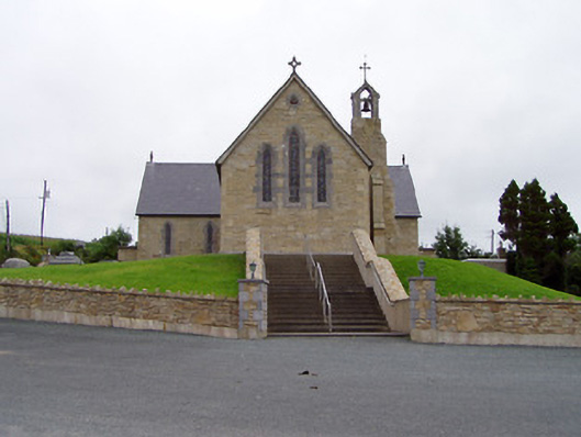 Saint Mary's Catholic Churchchurch/chapel · 1003 yd
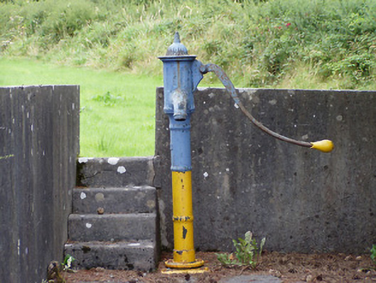 water pumpwater pump · 1133 yd
 Crannog in CorglassCrannog · 1718 yd
 Ritual siteRitual site, holy tree/bush · 1.1 mi
 North Midland Transport CollectionMuseum · 1.6 mi
 Ballinamuck Bog LoopWalking route · 2.6 mi
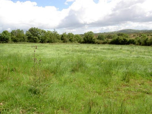 battlefieldbattlefield · 2.6 mi
 Battle of BallinamuckMajor battlefield · 2.7 mi
 CastleBawn · 3.5 mi
 CornaferstMountain / peak · 4.0 mi
 Ticosker WoodWood · 4.3 mi
 Lisraherty Bog WoodlandWood · 4.5 mi