What is recorded here
Grave Yard at Kilskyre in County Meath has buried people since the early church of St. Scíre, and it still holds the table tomb of Hugh O’Reilly and Katherine Plunkett beside a tower house. The graveyard widened westward from its older rectangular shape, bounded now by earthen bank, masonry wall and scarp, as if the dead themselves kept claiming more ground. People may have walked past those fields for generations, dropping into silence at the edge of the bank, carrying bread, ash or grief into a place that never stopped receiving them.
The site of the early church of St. Scíre that became the parish church of Kilskyre (ME016-043----) is within a graveyard which was rectangular (dims c. 65m E-W; c. 40m N-S) as marked on the 1836 ed. of the OS 6-inch map but it has been extended to the W (dim. c. 80m E-W) and is defined by an earthen bank at W and N, a masonry wall at E, and a scarp at S. The table tomb of Hugh O’Reilly and his wife Katherine Plunkett (ME016-043002-) and two armorial plaques (ME016-043003-; ME016-043004-) are in the graveyard. The tower house (ME016-042----) is also within the present graveyard. There are large enclosures from a field system (ME016-044----) in the surrounding fields.
Compiled by: Michael Moore
Date of upload: 4 June, 2014
Amended: 7 August, 2014
The monument record does not grant public access. Check the route and ask the landowner before entering private land.
- What survives
- Recorded monument
Places near here
 Ecclesiastical enclosure in KilskeerEcclesiastical enclosure · 1 yd
 Round TowerCastle, tower house · 28 yd
 IndicatedHoly well · 208 yd
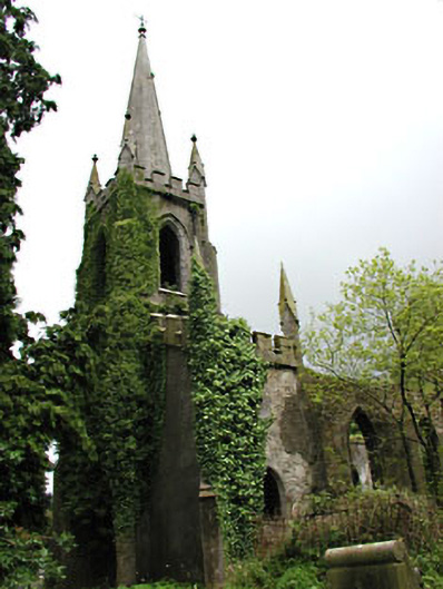 Saint Schiria's Church (Kilskeer)church/chapel · 1.8 mi
 Killua Castlegate lodge · 1.8 mi
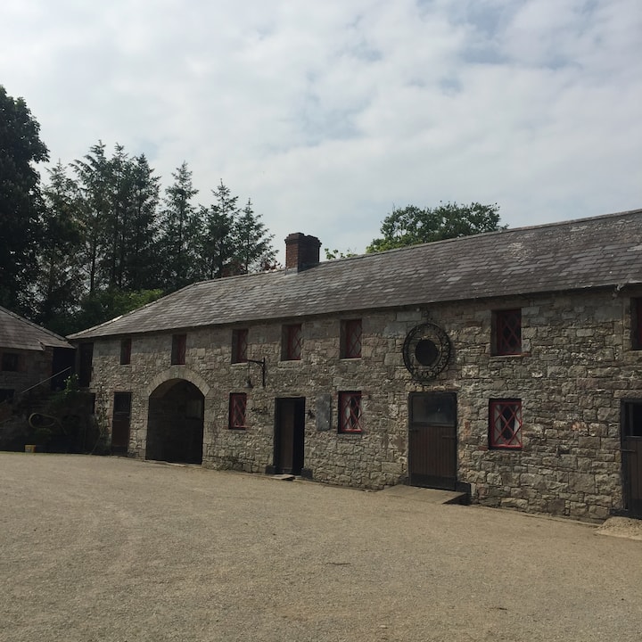 Casserly's WoodWood · 1.8 mi
 Bog WoodsForest · 1.9 mi
 CloncatMountain / peak · 2.1 mi
 Drewstown LittleMountain / peak · 2.6 mi
 BoglandMemorial · 3.1 mi
 Causey FarmHeritage attraction · 3.6 mi
 Moat of DiamorCastle, motte and bailey · 3.6 mi