What is recorded here
The following description is derived from both the published 'Archaeological Inventory of County Louth' (Dublin: Stationery Office, 1986) and the 'Archaeological Survey of County Louth' (Dublin: Stationery Office, 1991). In certain instances the entries have been revised and updated in the light of recent research.
Date of upload/revision: 17 July 2007
Situated on E shelf of long, wide ridge. Ploughed-out ring-barrow (overall diam. 16m), now visible only as sub-circular area demarcated by traces of a fosse (Wth 1.6m). Possibly part of same barrow group as nearby barrow in Rathlust townland (LH017-069----). (CLAJ 1944, 327; OS Memorandum 6352 B).
The monument record does not grant public access. Check the route and ask the landowner before entering private land.
- What survives
- Recorded monument
Places near here
 Holy well in RathlustHoly well · 754 yd
 Lismore FortCeremonial enclosure · 1091 yd
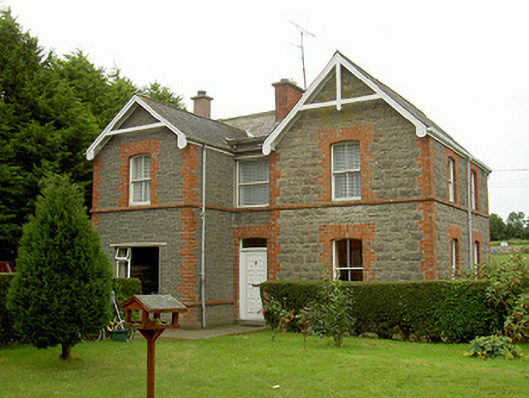 school master's houseschool master's house · 1687 yd
 R.C. ChapelChurch · 1730 yd
 Valley WoodWood · 1.1 mi
 CastleCastle, unclassified · 1.6 mi
 Mount OrielMountain / peak · 1.9 mi
 Screedoge HillMountain / peak · 2.3 mi
 Not idicatatedCastle, unclassified · 2.8 mi
 European White ElmEuropean White Elm · 2.8 mi
 Sir Frederick Foster MemorialMemorial · 3.1 mi
 Graveyard in StickillinGraveyard · 3.3 mi