What is recorded here
Indicated was a large circular earthwork on flat pastureland east of rathbeg bog, now completely levelled and invisible. Maps drawn before 1908 showed its clear shape, but later surveying reduced it to an ordinary grove of trees. The land itself erased the marker, leaving only a hidden circle beneath grass and forgetting.
No surface remains visible, levelled monument was situated on a flat pastureland to the E of rathbeg bog. Depicted as a large circular enclosure or platform on first two editions of the OS 6-inch maps. Depicted not as an antiquity but as a roughly oval-shaped grove of trees on the 1908 ed. OS 25-inch map.
The above description is derived from the published 'Archaeological Inventory of County Offaly' (Dublin: Stationery Office, 1997). In certain instances the entries have been revised and updated in the light of recent research.
Date of upload/revision: 30 December 2011
The monument record does not grant public access. Check the route and ask the landowner before entering private land.
- What survives
- Recorded monument
Places near here
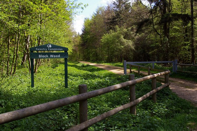 Black WoodForest · 455 yd
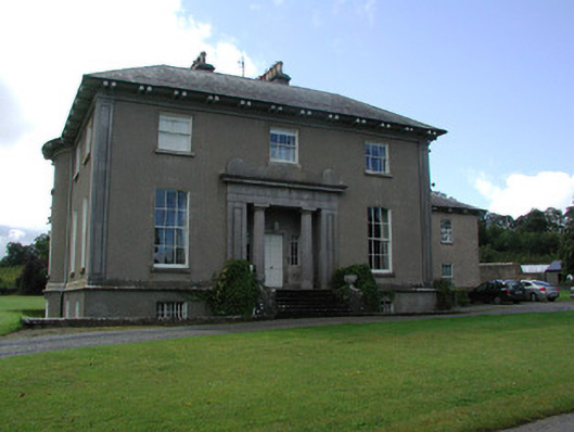 Ballyeighancountry house · 980 yd
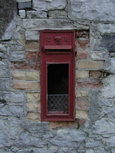 post boxpost box · 1419 yd
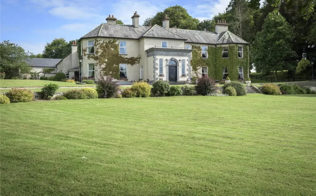 Enclosure in BallyeganEnclosure · 1456 yd
 Castle (in ruins)Castle, tower house · 1.3 mi
 Enclosure in CrinkillEnclosure · 1.8 mi
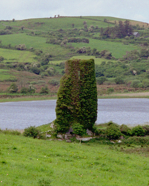 CastleCastle, tower house · 1.8 mi
 Big WoodWood · 2.9 mi
 Waterfall PointViewpoint · 3.2 mi
 Birr Heritage CentreMuseum · 3.3 mi
 The Great Telescope 'Leviathan'Heritage attraction · 3.3 mi
 James Franklin FullerMemorial · 3.4 mi