What is recorded here
Situated in level pasture immediately to S of lane leading to a now ruined farmhouse located 60m to the NW. A cashel (SL005-047----) is located 100m to the SSE. D-shaped structure (max. ext. dims. 4.45m N-S; 5.05m E-W), with the straight vertical side (Wth 2.85; H 1.3m) facing N, constructed of roughly quarried limestone blocks bonded with a gravel limestone mortar. The bowl is infilled (int. dims 1.55m N-S; 1.55m E-W) with rubble stone and earth and the edges, with the exception of the straight side, are covered by a scarp of earth and rubble limestone. The stoking hole (H 0.1m; Wth 0.2m) is located at the central base of the N side at the rear of a rectangular lintelled recess (Wth 0.65m; H 0.43m).
Compiled by: Patrick F. O'Donovan
Date of upload: 21 April 2011
The monument record does not grant public access. Check the route and ask the landowner before entering private land.
- What survives
- Recorded monument
Places near here
 IndicatedFairy fort / stone ringfort · 91 yd
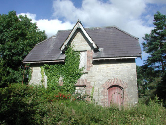 Benbulbin Old Schoolschool master's house · 552 yd
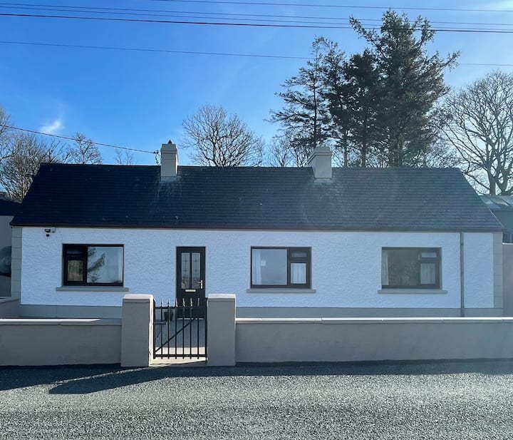 Enclosure in GrogaghEnclosure · 873 yd
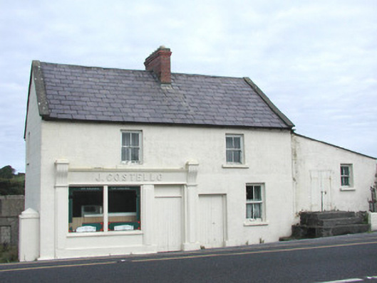 J. Costellohouse · 1288 yd
 CastleCastle, unclassified · 1735 yd
 InishnagorIslet · 1.5 mi
 Atlantic SheepdogsHeritage attraction · 1.8 mi
 Connors IslandIsland · 2.0 mi
 BenbulbinMountain / peak · 2.1 mi
 BenbulbenMountain · 2.2 mi
 de Cuellar Armada MonumentMemorial · 2.6 mi
 Benbulbin South-East TopMountain / peak · 2.8 mi