What is recorded here
Excavated in advance of construction of the N9/N10 Kilcullen-Waterford Road (Excavation Licence number E2620). A kiln (L 3.2m; Wth 1.5m) with in situ burning, was cut into the underlying grey limestone bedrock. Located c. 15m to the E of a cluster of pits (CW012-117----), a cremation pit (CW012-157----) and a second kiln (CW012-157----) (Hackett L. and Hanbridge R. 2009). (Hackett, L. 2009, 38)
References:
Hackett, L. (2009) 'Ballybar Lower Prehistoric activity' in I. Bennett (ed.), Excavations 2006: summary accounts of archaeological excavations in Ireland, 38 (157). Bray. Wordwell
Hackett L. and Hanbridge R. (2009) N9/N10 Kilcullen to Waterford Scheme: Kilcullen to Powerstown. Archaeological Services Contract No. 4 - Resolution, Prumpelstown to Powerstown. Final Report on archaeological investigations at site E2620, in the townland of Ballybar Lower, Co. Carlow. Unpublished report, Headland Archaeology (Ireland) Ltd., Cork
Compiled by: Claire Breen
Date of upload: 10 November 2010
The monument record does not grant public access. Check the route and ask the landowner before entering private land.
- What survives
- Recorded monument
Places near here
 Enclosure in Ballybar UpperEnclosure · 793 yd
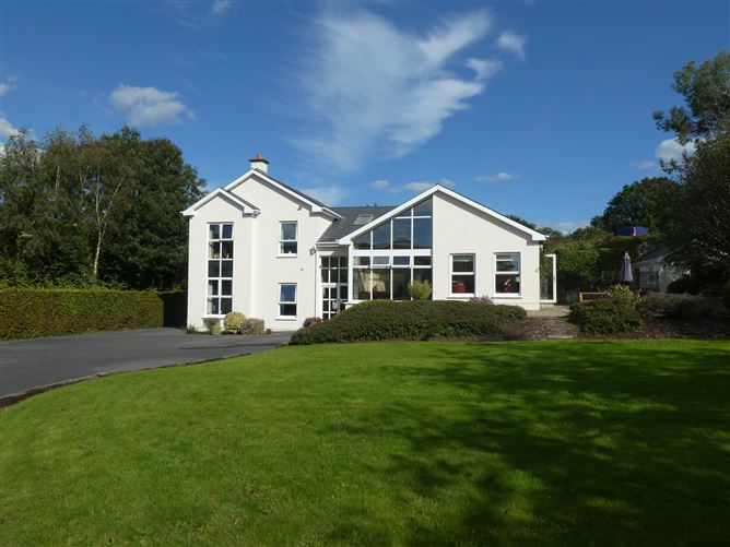 Enclosure in ClonmelshEnclosure · 1068 yd
 Graveyard in ClonmelshGraveyard · 1548 yd
 Saint Joseph's Catholic Churchchurch/chapel · 1.2 mi
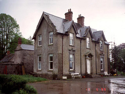 Garryhundon Househouse · 1.5 mi
 Pedunculate OakPedunculate Oak · 1.7 mi
 Clogrenan CastleCastle, tower house · 2.4 mi
 Site of CastleCastle, unclassified · 2.7 mi
 Graveyard in Tomard Lower (3 Detached Portions)Graveyard · 2.9 mi
 Common LimeCommon Lime · 3.2 mi
 Carlow County MuseumMuseum · 3.3 mi
 Carlow CastleRuined medieval castle · 3.4 mi