What is recorded here
Visible on aerial photographs (67 (MM) 32-37), and situated on a gentle SE-facing slope overlooking a shallow basin at the headwaters of a N-S stream c. 300m to the SE. Subcircular area (int. dims. 39.5m N-S; 32m E-W) defined by a shallow fosse (Wth 2.5-5m) highlighted by thistle growth. The entrance (Wth 3m) is at SSE. A standing stone (WA008-051001-) is centrally located within the enclosure, and standing stones (WA008-048----) and (WA008-050----) are c. 120m and c. 150m to the E and N respectively.
The above description is derived from the published 'Archaeological Inventory of County Waterford' (Dublin: Stationery Office, 1999). In certain instances the entries have been revised and updated in the light of recent research.
Date of upload/revision: 27th July, 2010.
The monument record does not grant public access. Check the route and ask the landowner before entering private land.
- What survives
- Recorded monument
Places near here
 Holy well in KilmoveeHoly well · 261 yd
 Church in KilmoveeChurch · 292 yd
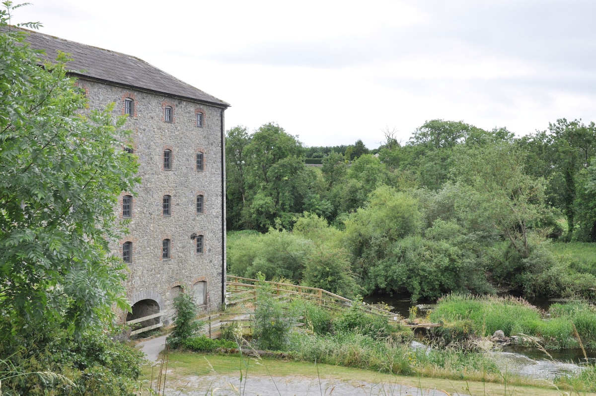 Kiln in KilmoveeKiln · 340 yd
 Embanked enclosureFairy fort / earthen ringfort · 580 yd
 Donnell's HillMountain / peak · 1.9 mi
 Beallough WoodForest · 2.1 mi
 The GroveWood · 2.2 mi
 Site of CastleCastle, unclassified · 2.3 mi
 Curraghmore HouseCastle · 2.8 mi
 Portlaw Heritage CentreMuseum · 3.3 mi
 Croughaun HillMountain / peak · 3.4 mi
 8 Arch GalleryGallery · 3.9 mi