What is recorded here
Conjoined to enclosure (TS060-035----) where there is a shared fosse along SE-side. Trapezoidal area (dims. 30m NW-SE; 28m NE-SW) defined by well preserved earthen bank (overall Wth 7.75; Wth at top 2.5m; int. H 0.5m; ext. H 0.7m) to NE (L 21m) and NE-end of SE-side. Bank (overall Wth 6.25m; Wth at top 2m; int. H 0.2m; ext. H 0.9m) is slightly lower for remainder of SE-side (total L 26m) and all of NW-side (L 28m). Bank is reduced to scarp (Wth 1.35m; H 0.3m) along SW-side (L 33m). Fosse (overall Wth 8.1m; basal Wth 2.6m; D 0.45m) is best preserved to NE-side but fosse (total Wth 8.75m; basal Wth 2.3m; D 0.7-0.9m) is also well defined to SE and NW-sides. Fosse (overall Wth 5.85m; basal Wth 3.1m; max. D 0.2m) is shallow along SW-side. Possible remains of an outer bank (overall Wth 4.25m; wth at top 1.0m; max. int. H 0.2m; max. ext. H 0.2m) along SW-side. Interior is featureless and has a very gentle S-facing slope. Rectangular enclosure (TS060-035002-) is c. 18m to SW.
Compiled by: Jean Farrelly
Date of upload: 26 August 2011
The monument record does not grant public access. Check the route and ask the landowner before entering private land.
- What survives
- Recorded monument
Places near here
 Enclosure in Kilmore UpperEnclosure · 81 yd
 Enclosure in Kilmore LowerEnclosure · 342 yd
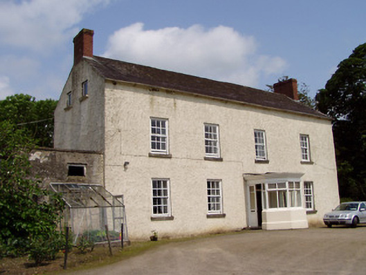 Kilmore Househouse · 409 yd
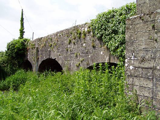 Aughnagross Bridgebridge · 450 yd
 Castle (in ruins)Castle, tower house · 1077 yd
 European ashEuropean ash · 1456 yd
 Bawn in Ballinaclogh (rathlynin Par.)Bawn · 1500 yd
 Woodcock GroveWood · 2.0 mi
 Athassel PrioryHeritage attraction · 3.5 mi
 Hore AbbeyHeritage attraction · 4.8 mi
 The Maid of ErinMemorial · 7.4 mi
 The RockViewpoint · 8.7 mi