What is recorded here
Mortons and others may have built or used the fort, but the exact builders and date have not survived.
Located on the summit of a small hillock. This is an overgrown oval area (int. dims c. 35m NW-SE; 22m SW-NE) defined by an earthen bank which is best preserved at W (Wth 3.1m; int. H 0.35m; ext. H 1.1m). An outer bank (Wth 3.1m; L 20m; H 0.3m) is separated from the inner by a berm (Wth 11m) at WSW (downslope), and there are traces of an outer scarp at N. The original entrance is not identified.
The above description is derived from 'The Archaeological Inventory of County Leitrim' compiled by Michael J. Moore (Dublin: Stationery Office, 2003). In certain instances the entries have been revised and updated in the light of recent research.
Date of upload: 23 September 2008
The monument record does not grant public access. Check the route and ask the landowner before entering private land.
- What survives
- Recorded monument
Places near here
 CastleCastle, tower house · 367 yd
 FprtFairy fort / stone ringfort · 763 yd
 IndicatedFairy fort / stone ringfort · 801 yd
 Parke's CastleHeritage attraction · 837 yd
 Cullentra ForestForest · 1.3 mi
 Trawane BayBay · 1.5 mi
 InnisfreeIslet · 1.6 mi
 Doonbran Isd.Bawn · 1.7 mi
 Toberconnell BayBay · 1.9 mi
 St. Connells IslandIslet · 2.0 mi
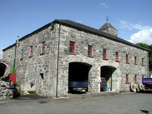 mill (water)mill (water) · 2.0 mi
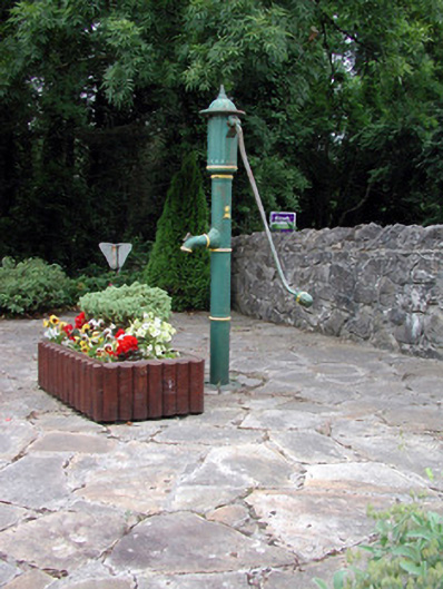 water pumpwater pump · 2.1 mi