What is recorded here
Kilmoney is called a fairy fort, but it was probably a human ringfort: a circular earth and stone enclosure about thirty metres across, built on the north side of an east-west ridge to look down the Owenboy valley. It appeared on the 1842 Ordnance Survey map, then disappeared under plough, pasture or forgetting. The fairy name may be praise, fear or dismissal: people stopped believing the shape was ordinary, so they gave it to something smaller and quicker.
In pasture, on N side of E-W ridge, overlooking Owenboy river valley to N. Shown on 1842 OS 6-inch map as circular enclosure (diam. c. 30m). Levelled; no visible surface trace.
The above description is derived from the published 'Archaeological Inventory of County Cork. Volume 2: East and South Cork' (Dublin: Stationery Office, 1994). In certain instances the entries have been revised and updated in the light of recent research.
Date of upload/revision: 14 January 2009
The monument record does not grant public access. Check the route and ask the landowner before entering private land.
- What survives
- Recorded monument
Places near here
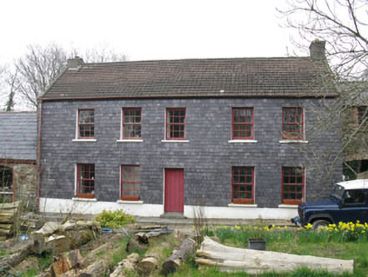 Kilmoney Househouse · 216 yd
 Kilmoney Bridgebridge · 649 yd
 IndicatedFairy fort / earthen ringfort · 1068 yd
 St. John's WellArchaeological place · 1.0 mi
 Ballea CastleCastle, tower house · 1.2 mi
 Cogan's CastleCastle · 1.6 mi
 Coolmore WoodWood · 3.2 mi
 Pauper's GraveyardArchaeological place · 3.2 mi
 St Laitiarain's WellSpring · 4.1 mi
 Mulcon ValleyWood · 4.3 mi
 Manx2 Flight 7100aviation accident · 4.4 mi
 Fountainstown BeachBeach / strand · 4.6 mi