
What is recorded here
Indicated is a half-hidden fairy fort where a road cut through a living room, leaving only a curved earthen bank and a shallow ditch on the west side. O'Leary called it a lios about a quarter-acre wide, but the east wall has vanished into pasture, grass and forgetting. What remains is not a complete fortress but a boundary marker: a line drawn across land, then broken by passage. The fort still indicates something, though perhaps not its own shape.
In pasture, on N-facing slope. Arc (C c. 33m) defined by earthen bank with external fosse (D 1.3m) survives S->N, in W side of N-S roadway. No visible surface trace of enclosure to E of roadway. Interior and bank heavily overgrown. Described by O'Leary (1919, 35) as 'a lios' c. '1/4-acre in area', bisected by a road.
The above description is derived from the published 'Archaeological Inventory of County Cork. Volume 2: East and South Cork' (Dublin: Stationery Office, 1994). In certain instances the entries have been revised and updated in the light of recent research.
Date of upload/revision: 14 January 2009
The monument record does not grant public access. Check the route and ask the landowner before entering private land.
- What survives
- Recorded monument
Places near here
 Ballea Bridge (Lower)bridge · 578 yd
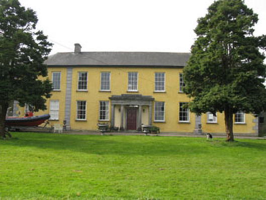 Kilmoney Abbeycountry house · 649 yd
 St. John's WellArchaeological place · 1306 yd
 St Ringoes WellHoly well · 1323 yd
 Meadstown Castle (Site of)Castle, unclassified · 1.8 mi
 Cogan's CastleCastle · 1.9 mi
 Pauper's GraveyardArchaeological place · 2.7 mi
 Coolmore WoodWood · 3.6 mi
 Manx2 Flight 7100aviation accident · 3.8 mi
 Ballybrack WoodsWood · 3.8 mi
 St Laitiarain's WellSpring · 4.0 mi
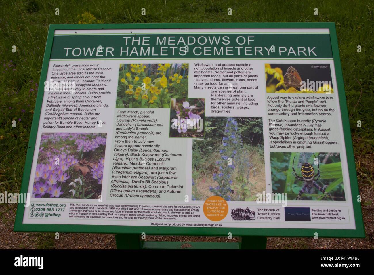 Wildlife and plant information boardsVisitor information · 4.2 mi
Other information
Photo: Credit not shown in the picture search · Rights wording not checked; contact us if this picture should be removed