What is recorded here
On a rise in an undulating landscape. Circular overgrown area (int. diam. 33.9m E-W; 31.4m N-S) defined by a stone spread (Wth 7-8m; H 0.3-0.5m) which is best preserved (at S: Wth 5m; H 0.8m) SE-SW. Internal and external facing-stones are intermittently visible (at WNW: original Wth 2.3m). A small clearance cairn is inside the perimeter at NW and a pen (int. dims 12.5m N-S; 8.5m NE-SW) defined by drystone walls (Wth 0.6m; H 0.7m) is built against the inner face of the perimeter at W. The entrance (Wth 1.6m), now blocked with growth, is at SSE. Archaeological testing (02E0879) c. 50m to the SE failed to produce any related material (Quinn 2004a). Cashel (RO052-011----) is c. 100m to the SE and the possible cashel (RO052-0023----) is c. 80m to the SW.
Compiled by: Michael Moore
Date of upload: 24 August 2010
The monument record does not grant public access. Check the route and ask the landowner before entering private land.
- What survives
- Recorded monument
Places near here
 Embanked enclosureFairy fort / earthen ringfort · 923 yd
 St Bridgets WellHoly well · 1200 yd
 Drum ChurchChurch · 1259 yd
 KilnKiln, corn-drying · 1.2 mi
 Castle QuarterCastle, unclassified · 1.8 mi
 Wren's IslandIslet · 3.4 mi
 Bastion GalleryGallery · 3.4 mi
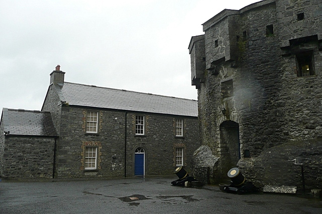 CastleCastle, unclassified · 3.4 mi
 Historic Town - Athlone Castle & Church of St Peter and PaulVisitor information · 3.5 mi
 Athlone CastleVisitor information · 3.5 mi
 1916 Centenery CommemorationMemorial · 3.7 mi
 Siege of Athlonesiege · 3.7 mi