What is recorded here
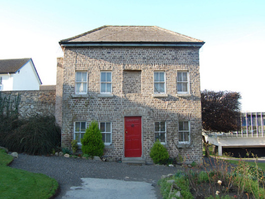
Detached three-bay two-storey "cottage", extant 1760, on a rectangular plan. Reroofed. Hipped fibre-cement slate roof with lichen-covered clay ridge tiles, roughcast central chimney stack to rear (west) elevation, and cast-iron rainwater goods on timber box eaves retaining cast-iron downpipes. Repointed yellow brick Flemish bond wall to front (east) elevation on rendered plinth; roughcast surface finish (remainder) over coursed rubble stone construction with concealed yellow brick flush quoins to corners. Square-headed central door opening below square-headed niche with two cut-granite steps, and repointed yellow brick voussoirs framing timber panelled door. Paired square-headed window openings with cut-granite sills, and repointed yellow brick voussoirs framing two-over-two timber sash windows. Square-headed window openings (remainder) with concealed yellow brick block-and-start surrounds framing two-over-two timber sash windows. Set in landscaped grounds shared with Saint Columba's College.
A "cottage" contributing positively to the group and setting values of the Saint Columba's College complex with the architectural value of the composition, one illustrated in John Rocque's "An Actual Survey of the County of Dublin" (1760) and allegedly erected for occupation by the keeper of an adjacent deer park (Mulligan 2004, 7), confirmed by such attributes as the compact rectilinear plan form; the construction in an ochre-coloured handmade brick; and the very slight diminishing in scale of the openings on each floor producing a feint graduated visual impression.
This does not grant access. Most recorded buildings are privately owned; view them only from public ground unless the owner allows entry.
Places near here
 Saint Columba's Collegechurch/chapel · 145 yd
 St. Sabhs WellHoly well · 349 yd
 Brehons ChairPortal tomb · 472 yd
 Danesmoatecountry house · 605 yd
 Fairy Tree HomeHeritage attraction · 742 yd
 Wildflower MeadowNature reserve · 752 yd
 Lebanon CedarLebanon Cedar · 980 yd
 Telshaun HillMountain / peak · 1311 yd
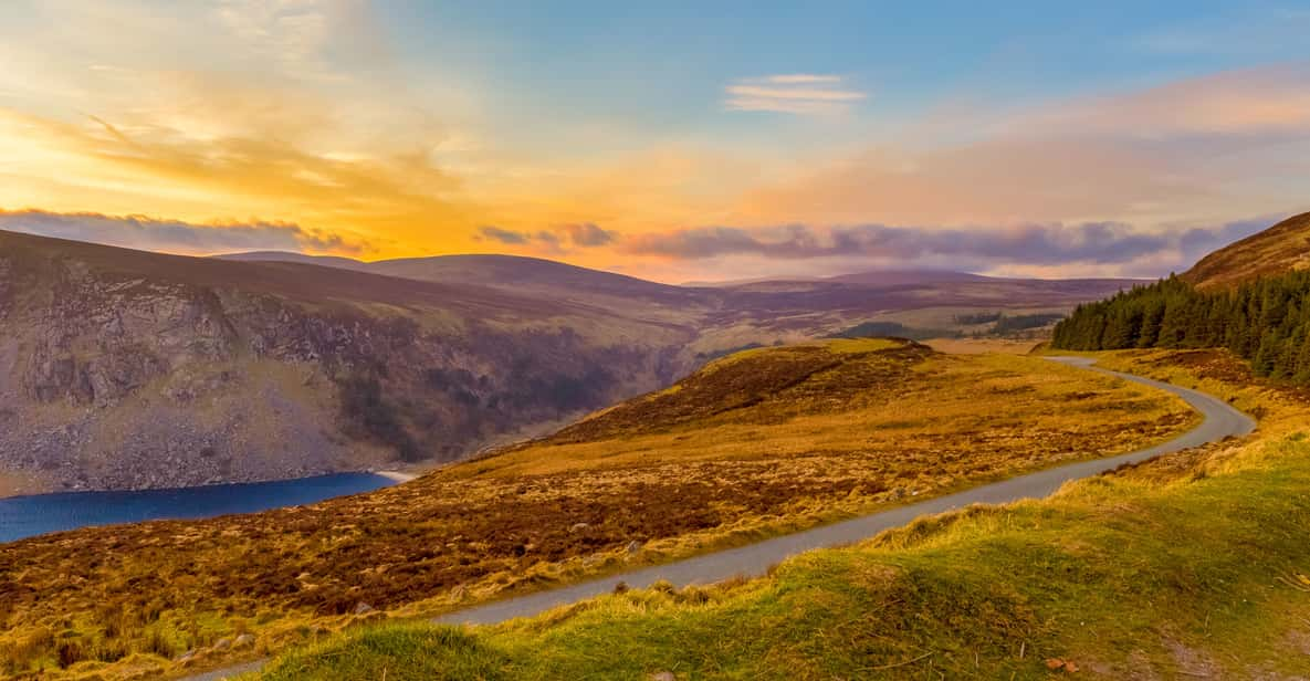 Start / End Point Wicklow WayVisitor information · 1372 yd
 KilmashogueMountain / peak · 1.1 mi
 Flat cemetery in EdmondstownFlat cemetery · 1.1 mi
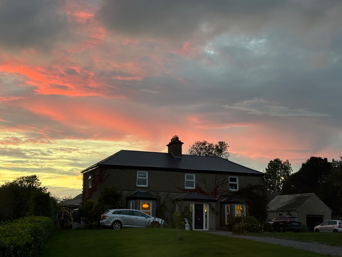 Nature RoomHeritage attraction · 1.2 mi
Other information
Photo: National Inventory of Architectural Heritage · Website use allowed for educational or private purposes with source credit