What is recorded here
Located in gently sloping pasture, W of the River Dargle. Three tall granite orthostats survive forming three sides of a chamber which opens to the SSE (H 2.7m; Wth 2.35m; D 2.3m). The E portal-stone leans on the doorstone. A fourth stone had been broken up c. 1876 (Ó Nualláin 1983, 82, 96; Borlase 1897, 2, 393-4). Excavations undertaken between 1984 and 1987 revealed an oval-shaped cairn and concentrations of charcoal and cremated bone associated with the orthostats. A secondary pit burial in the cairn contained an inverted Food Vessel accompanying a cremation (DU022-033002-). N of the orthostats were a series of pits and post-holes and a linear trench, which produced a Late Neolithic/Early Bronze Age stone and pottery assemblage (DU022-033003-). A bowl furnance dating to the Iron Age was also revealed in this area (Keeley 1986, 18; 1987, 14-15; 1989-90, 74). Monitoring of groundworks in the same field as 'The Brehon's produced a sherd of coarseware pottery. The fill was burnt, and it is possible that some burning did occur within the pit (Reid 2000, 35).
Located in gently sloping pasture, W of the River Dargle. Three tall granite orthostats survive forming three sides of a chamber which opens to the SSE (H 2.7m; Wth 2.35m; D 2.3m). The E portal-stone leans on the doorstone. A fourth stone had been broken up c. 1876 (Ó Nualláin 1983, 82, 96; Borlase 1897, 2, 393-4). Excavations undertaken between 1984 and 1987 revealed an oval-shaped cairn and concentrations of…
From the National Monuments Service (Archaeological Survey of Ireland) record DU022-033
The monument record does not grant public access. Check the route and ask the landowner before entering private land.
- What survives
- Recorded monument
Places near here
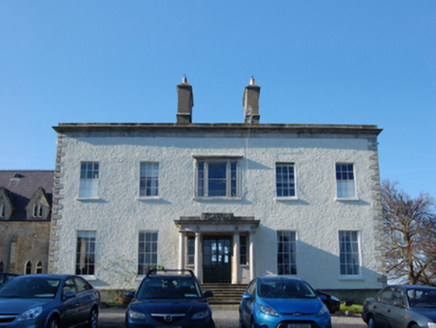 Saint Columba's CollegeCountry house · 332 yd
 DanesmoateCountry house · 356 ydFairy Tree HomeHeritage attraction · 499 yd
 Lebanon Cedar807 yd
 European Yew1357 yd
 Kilmashogue Wedge TombArchaeological place · 1456 yd
 KilmashogueMountain / peak · 1.2 mi
 Pearse MuseumMuseum · 1.3 mi
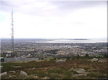 Three Rock MountainMountain / peak · 1.9 mi
 Wicklow WayWalking route · 1.9 mi
 CrossCross, High cross · 2.1 mi
 Austin Clarke BridgeMemorial · 2.7 mi
Pictures: National Inventory of Architectural Heritage; Olivier BEZES, Wikimedia Commons · CC BY 2.5; Sitomon, Wikimedia Commons · CC BY-SA 2.0; D18Jessica, Wikimedia Commons · CC BY-SA 4.0; Joe King, Wikimedia Commons · CC BY-SA 3.0; Dave Addey at English Wikipedia, Wikimedia Commons · Public domain; JP, Geograph · CC BY-SA 2.0; Barry, Geograph · CC BY-SA 2.0; D18Steve, Wikimedia Commons · CC BY-SA 4.0
More archaeology and monuments in County Dublin · All of County Dublin
What do you know about this place?