What is recorded here
The fairy fort or ringfort in Kilmaquague is in County Waterford, Ireland. The circular enclosure measured about 45 metres across on the 1840 and 1925 maps, sat in pasture at the bottom of a north-east to south-west valley, and was removed in the 1970s. Local tradition connects the vanished circular area with a man-made underground passage, but neither site is visible at ground level.
Marked as a circular enclosure (diam. c. 45m) on the 1840 and 1925 eds. of the OS 6-inch map and situated in pasture at the bottom of a NE-SW valley, c. 40m NW of a stream. It was removed in the 1970s and is described locally as a circular area (diam. c. 45m) traditionally associated with a Man-made underground passage (WA027-031002-) (Decie 1983, 56). Neither site is visible at ground level.
Decie (1983) Old Waterford Society Survey, Decies, No. 24, 42-57.
The above description is derived from the published 'Archaeological Inventory of County Waterford' (Dublin: Stationery Office, 1999). In certain instances the entries have been revised and updated in the light of recent research.
Compiled by: Michael Moore
Date of upload/revision: 10 June 2011
The monument record does not grant public access. Check the route and ask the landowner before entering private land.
- What survives
- Recorded monument
Places near here
 Man-made underground passage in KilmaquagueMan-made underground passage · 1 yd
 IndicatedFairy fort / earthen ringfort · 727 yd
 Church in ruinsChurch · 899 yd
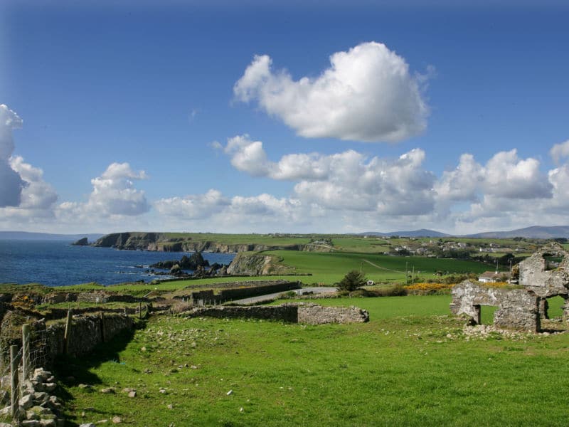 South East Coastal DriveVisitor information · 1112 yd
 Portally CoveBeach / strand · 1385 yd
 Portally-Rathmoylan Cliff WalkWalking route · 1486 yd
 Coast Walk, and road returnWalking route · 1525 yd
 Rathmoylan CoveBeach / strand · 1670 yd
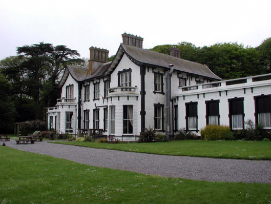 Villa Marinahouse · 1.4 mi
 Castle in ruinsCastle, Anglo-Norman masonry castle · 1.5 mi
 Lost at Sea Memorial WallMemorial · 1.6 mi
 Main ForestWood · 2.1 mi