
What is recorded here
Situated in pasture, c. 50m NE of a farmyard. Annotated 'Fort' on the 1837 OS Fair Plan map and depicted as a D-shaped earthwork (approx. dims. 40m NE-SW; 33m NW-SE) with the straight side formed by a field fence to S. On this map an old road or lane is showing running onto the W side of the earthwork which may have served as a haggard for the nearby farmhouse. Monument described in 1981 as a much damaged ringfort visible as a raised semi-circular shaped area (dims. 15m E-W; 11m N-S) which is cut by a field fence to S. The interior is enclosed by the remains of a much denuded bank with traces of an external fosse, which are best preserved at N. There are a number of boulders on the surface of the interior suggesting that there is rock outcrop below the ground surface. Monument is not visible on Digital Globe aerial photography.
Compiled by: Alison McQueen, Vera Rahilly and Caimin O’Brien
Date of upload: 05 June 2019
The monument record does not grant public access. Check the route and ask the landowner before entering private land.
- What survives
- Recorded monument
Places near here
 Enclosure in ClonlostEnclosure · 772 yd
 Saint Joseph's Catholic Churchchurch/chapel · 842 yd
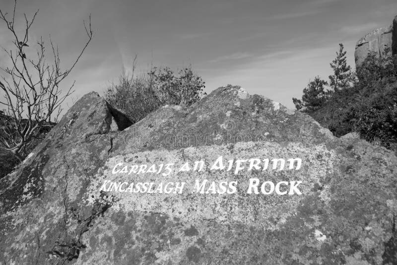 Mass-rock in TevrinMass-rock · 858 yd
 Chapel in ruinsChapel · 876 yd
 CastleCastle, ringwork · 1.2 mi
 OutlinedCastle, unclassified · 1.5 mi
 GinkgoGinkgo · 1.6 mi
 KnockeyonMountain / peak · 5.9 mi
 The FurzeForest · 6.5 mi
 Kells HillMountain / peak · 9.4 mi
 Croppies' GraveMemorial · 12 mi
 Clondrisse Houseoutbuilding · 1017 yd
Other information
Photo: Credit not shown in the picture search · Rights wording not checked; contact us if this picture should be removed