What is recorded here
Situated on a slight rise, in gently undulating pasture with good views in all directions. Depicted on the 1837 ed. OS 6-inch map as a suboval-shaped earthwork. Monument described in 1970 as a broad oval-shaped area (31m NE-SW; 26m NW-SE) enclosed by a steep bank and external fosse. The bank (ext. H 1.7m) is visible from E-S and at W, however it is much defaced at ENE, SSW, WSW and WNW by modern quarrying. There is a slight fosse visible from SE-S-W-N. The original entrance is not recognisable. The interior has a gentle E-facing slope. A house site (WM020-009001-) can be seen in the NW quadrant. Monument is visible today as a suboval-shaped earthwork on Digital Globe aerial photography.
Compiled by: Alison McQueen, Vera Rahilly and Caimin O’Brien
Date of upload: 25 May 2019
The monument record does not grant public access. Check the route and ask the landowner before entering private land.
- What survives
- Recorded monument
Places near here
 Partially hachuredFairy fort / ringfort · 245 yd
 Enclosure in ClonlostEnclosure · 658 yd
 Clondrisse Houseoutbuilding · 889 yd
 Saint Joseph's Catholic Churchchurch/chapel · 1072 yd
 CastleCastle, ringwork · 1.0 mi
 OutlinedCastle, unclassified · 1.6 mi
 GinkgoGinkgo · 1.7 mi
 KnockeyonMountain / peak · 6.0 mi
 The FurzeForest · 6.7 mi
 Kells HillMountain / peak · 9.6 mi
 Croppies' GraveMemorial · 12 mi
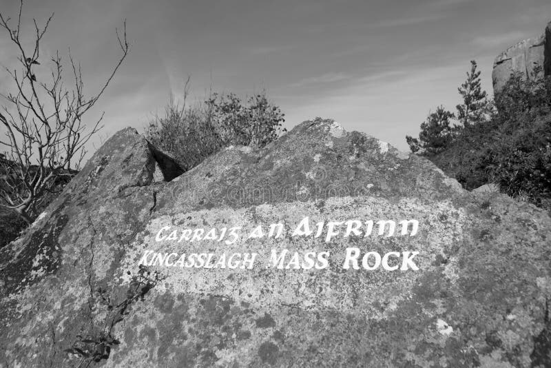 Mass-rock in TevrinMass-rock · 1090 yd