
What is recorded here
Indicated is a grass-covered fairy fort on a Monaghan drumlin, its blocked southern gap and shallow western ditch still visible beneath the Rossmore Castle lawn. It may have been a small residence, a boundary marker or a place where people believed the hidden world could be touched. The land has changed from exposure to concealment, yet the circle remains clear enough to walk around and imagine.
Located on top of a drumlin in the demesne of Rossmore Castle. This is a raised circular area that is now grass-covered (diam. 39m N-S; 37.5m E-W) but had been deployed as a tree-ring. It was defined by a scarp (at E: Wth 2.3m; H 1.5m; at W: H 2.15m), with traces of an external fosse or drain (Wth of base 1.1m; D 0.45m) E-SW. An entrance gap (Wth of top 5.4m) at SSE is now blocked.
The above description is derived from the published 'Archaeological Inventory of County Monaghan' (Dublin: Stationery Office, 1986). In certain instances the entries have been revised and updated in the light of recent research.
Compiled by: Michael Moore
Date of revision: 22 February 2018
The monument record does not grant public access. Check the route and ask the landowner before entering private land.
- What survives
- Recorded monument
Places near here
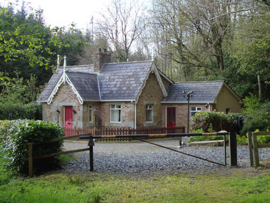 Rossmore Castlegate lodge · 152 yd
 Roddy-Den-Drum GiantHeritage attraction · 245 yd
 Pet CemeteryHeritage attraction · 555 yd
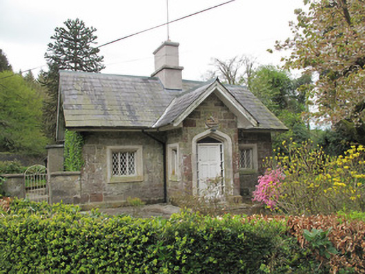 Camla Housegate lodge · 595 yd
 Court tomb in KillydrutanCourt tomb · 1147 yd
 Megalithic tomb in GortakeeghanMegalithic tomb · 1320 yd
 Hazel WoodWood · 1680 yd
 Mullaghmatt ForestWood · 1701 yd
 Bawn in Roosky (monaghan By., Monaghan Par.)Bawn · 1.9 mi
 Rossmore MonumentMemorial · 2.0 mi
 Rough HillMountain / peak · 2.6 mi
 Castleshane WaterfallWaterfall · 4.9 mi
Other information
Photo: Credit not shown in the picture search · Rights wording not checked; contact us if this picture should be removed